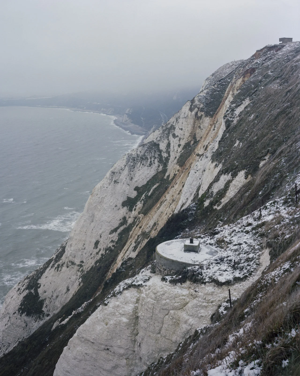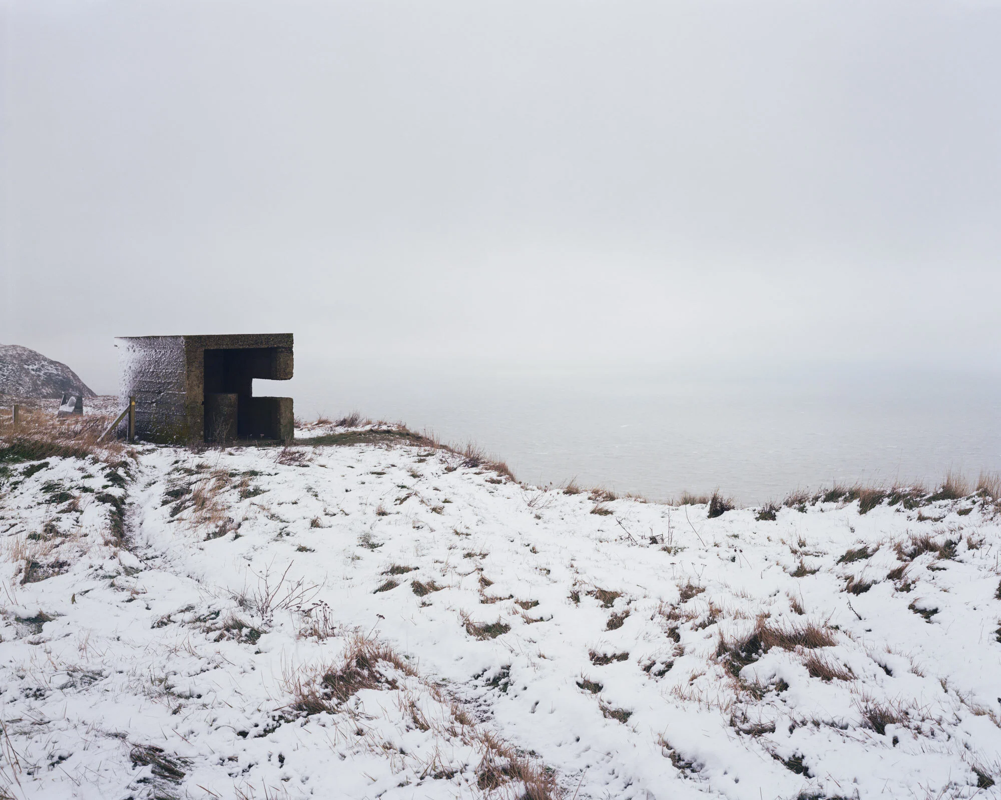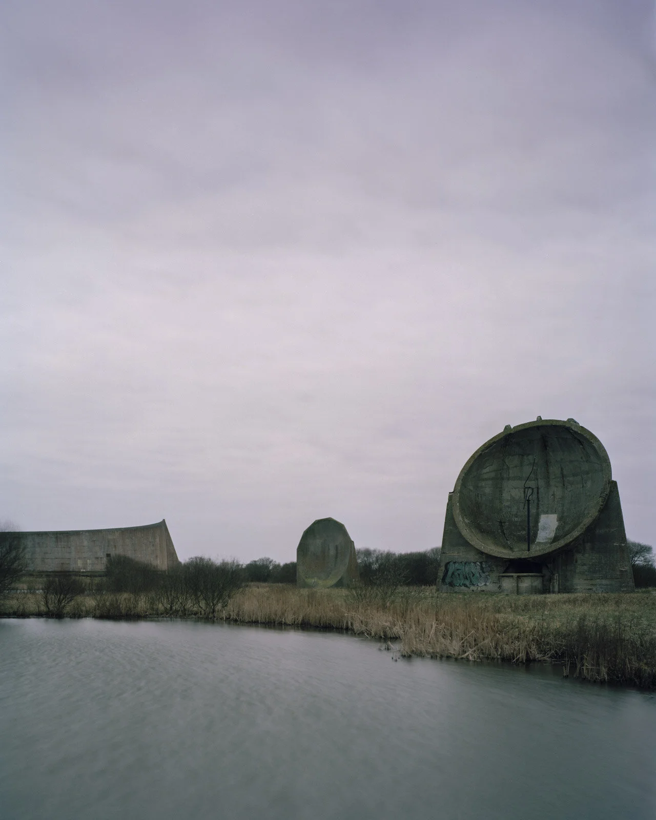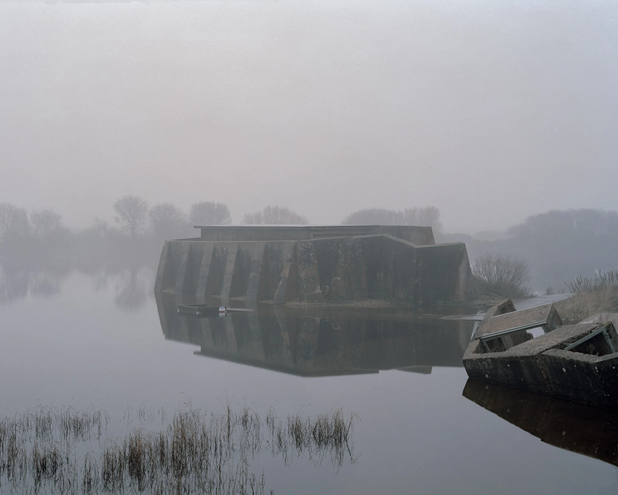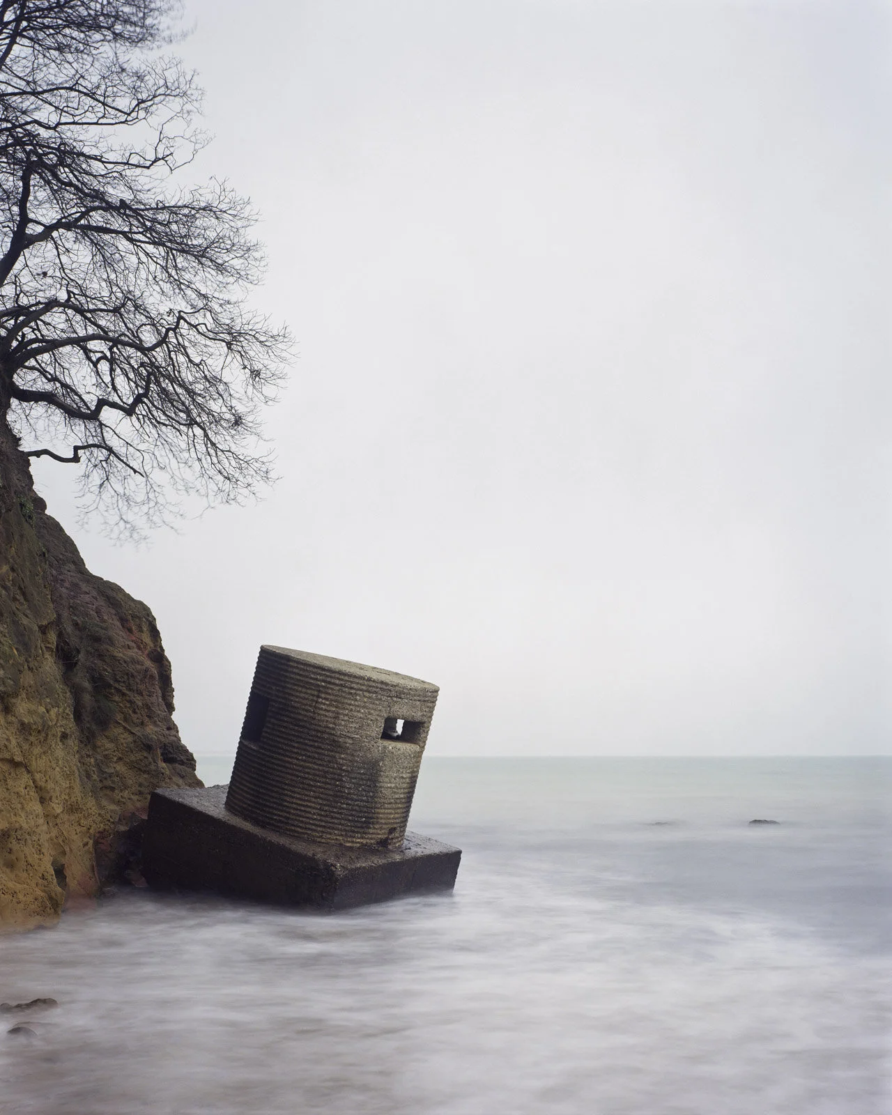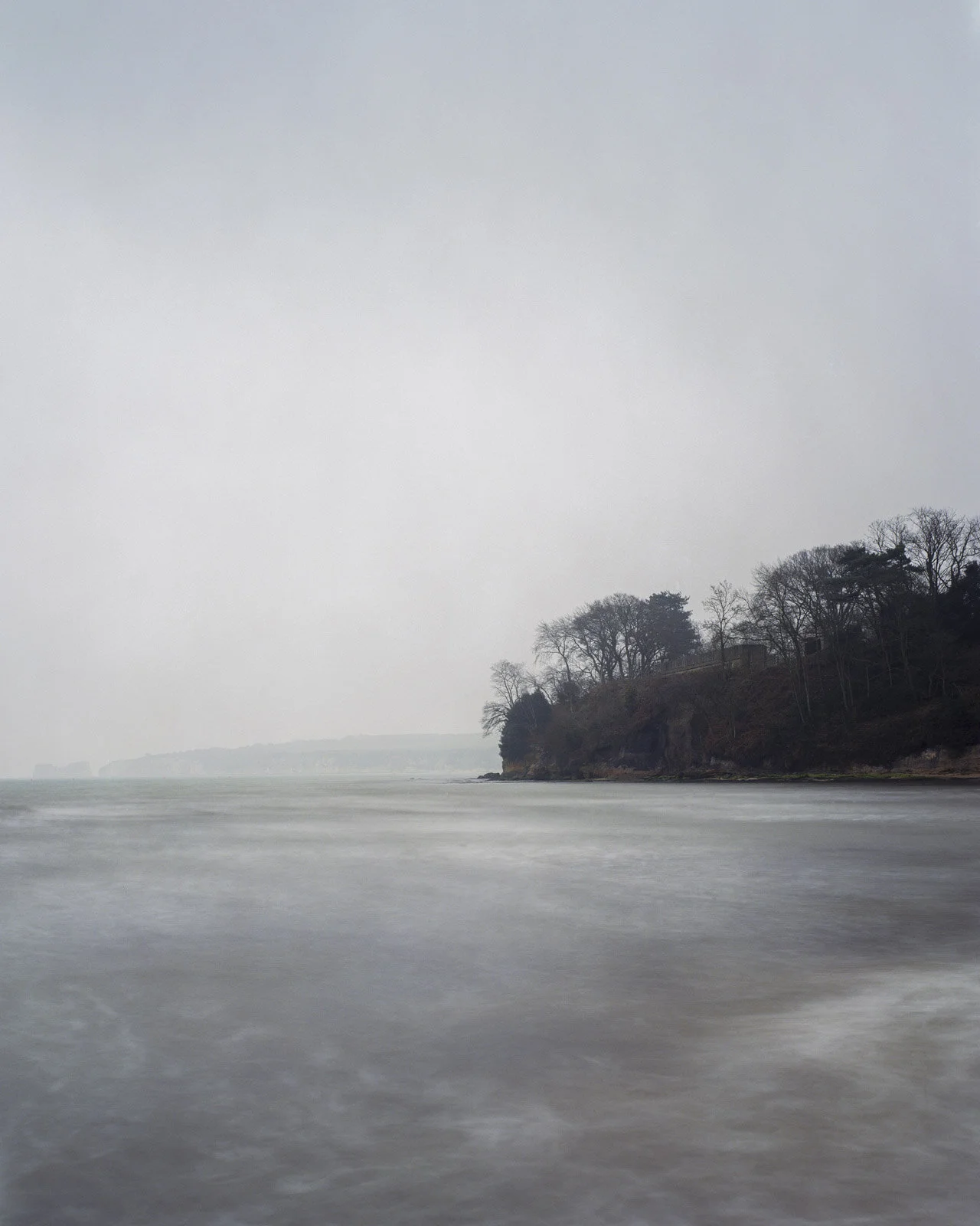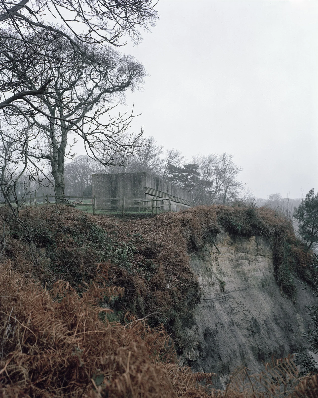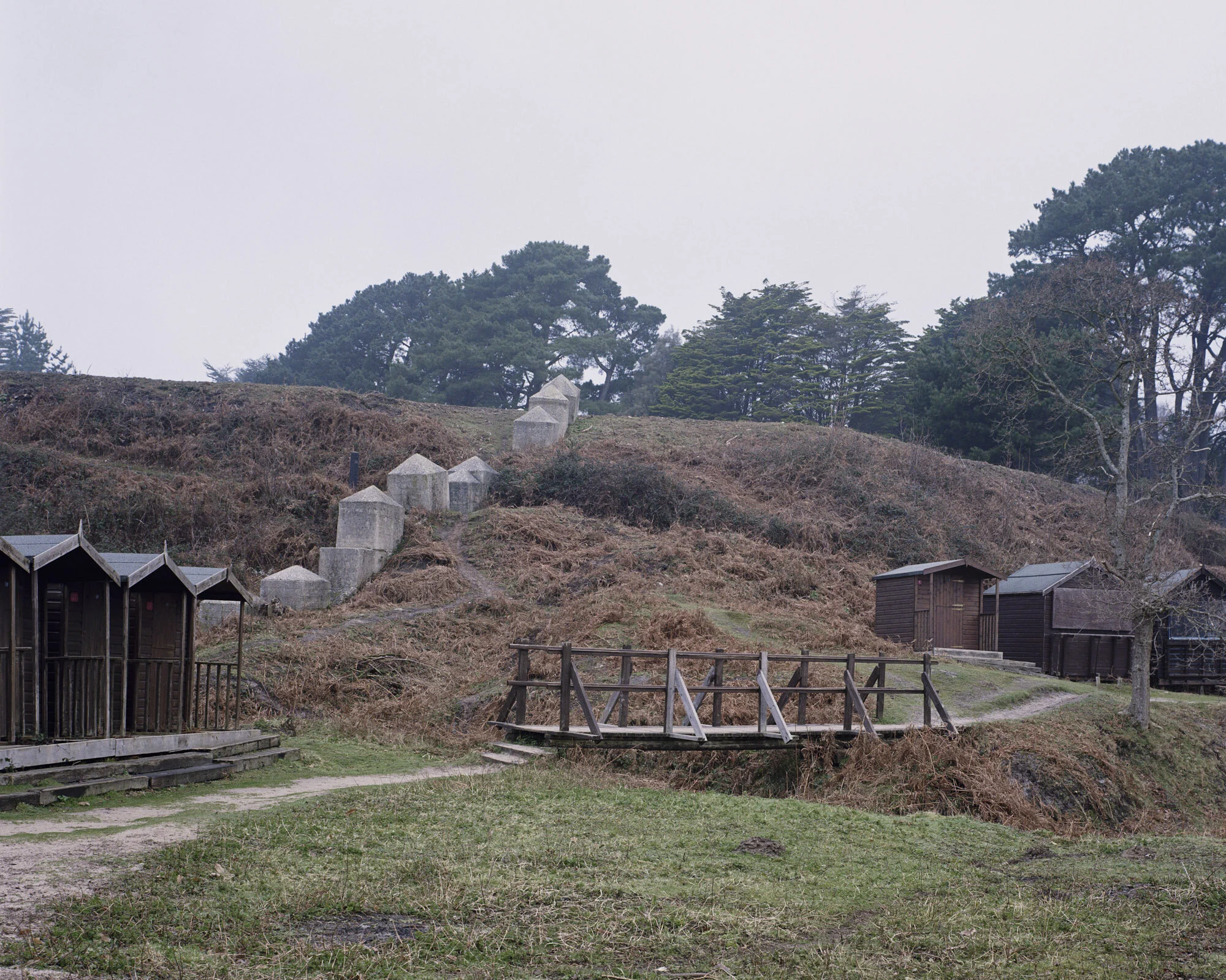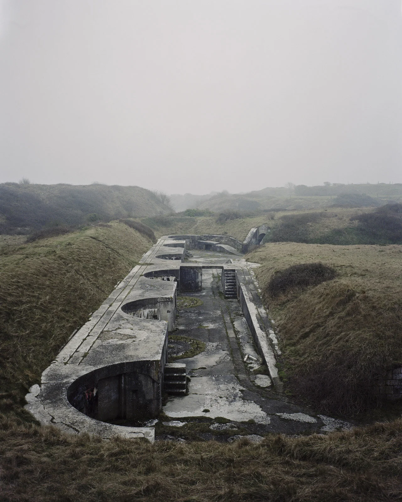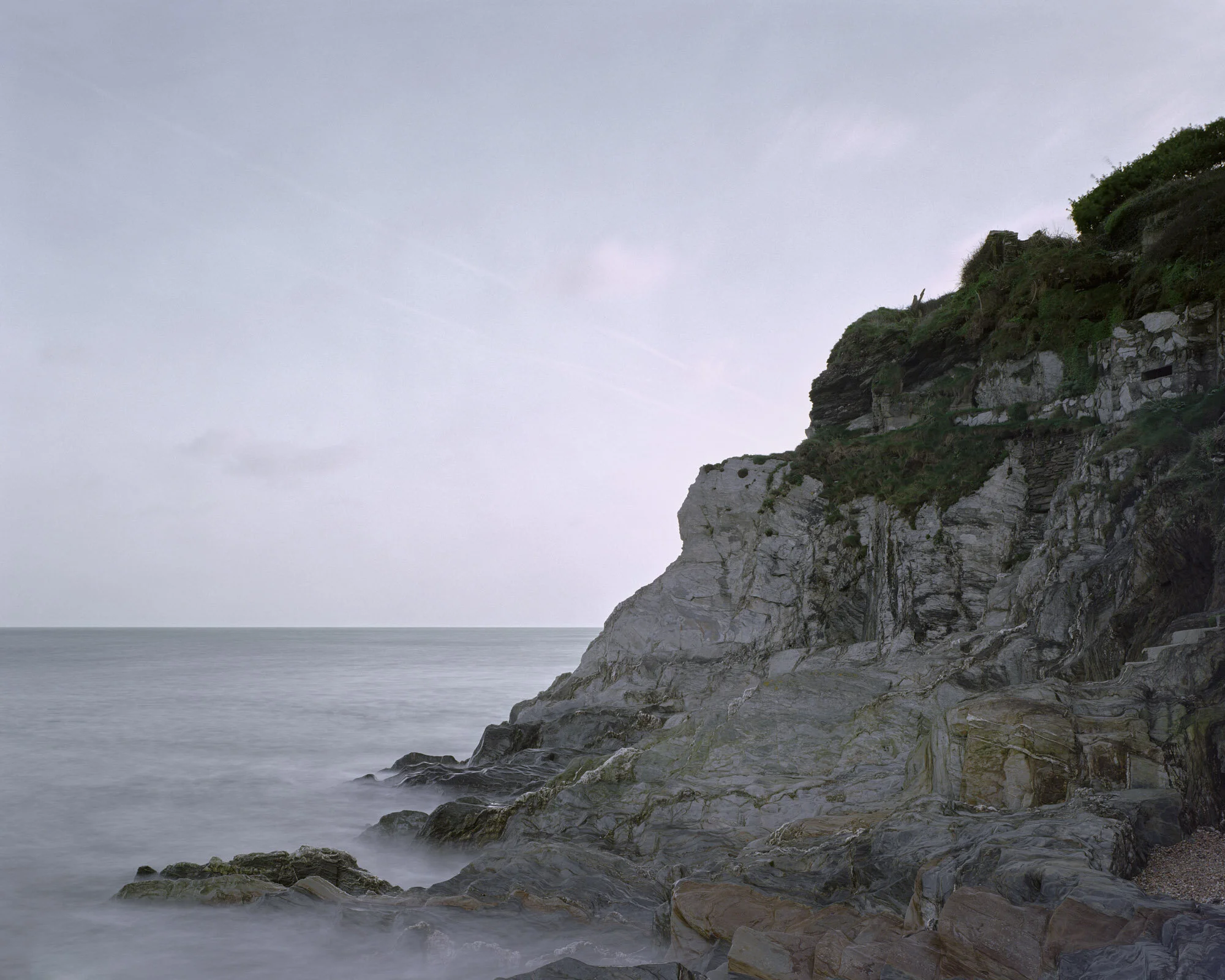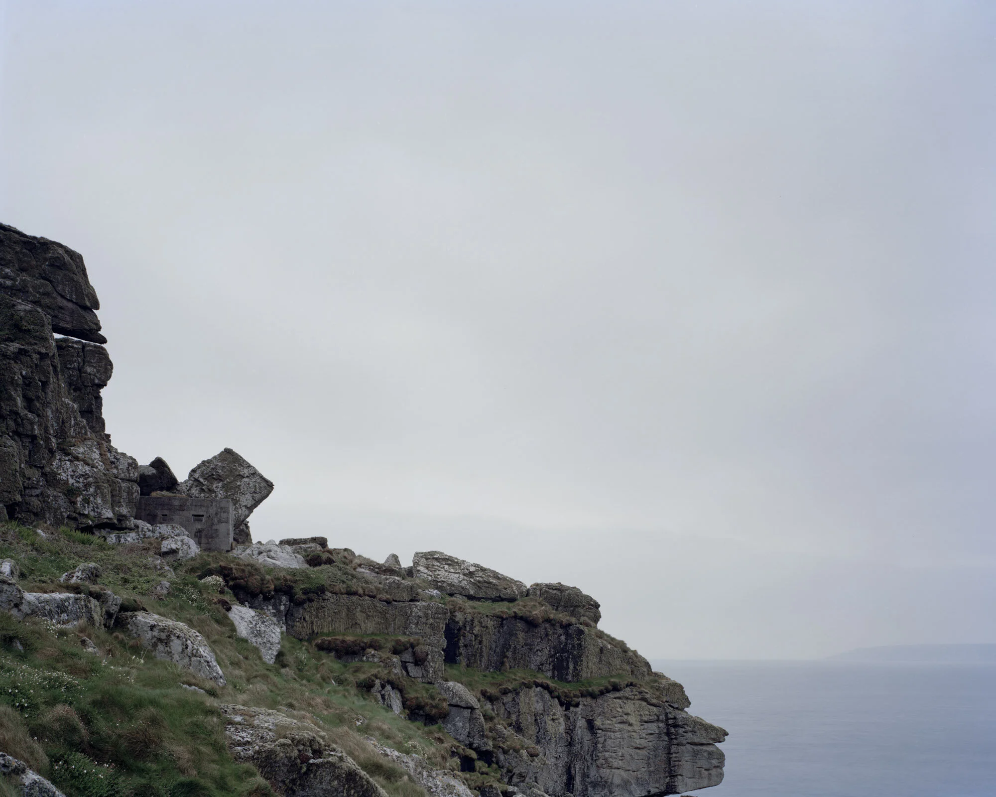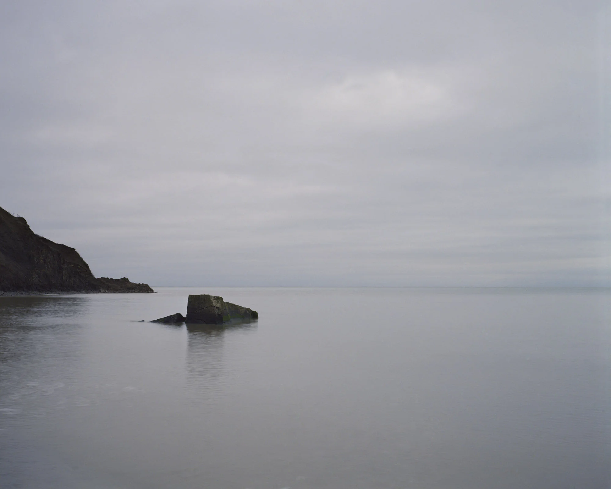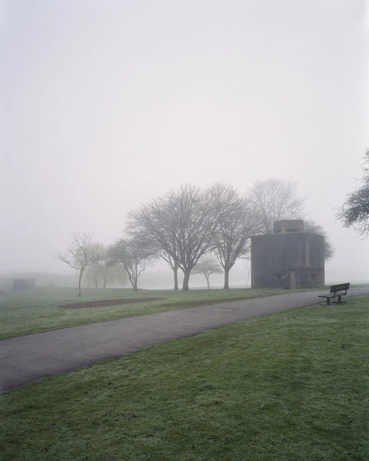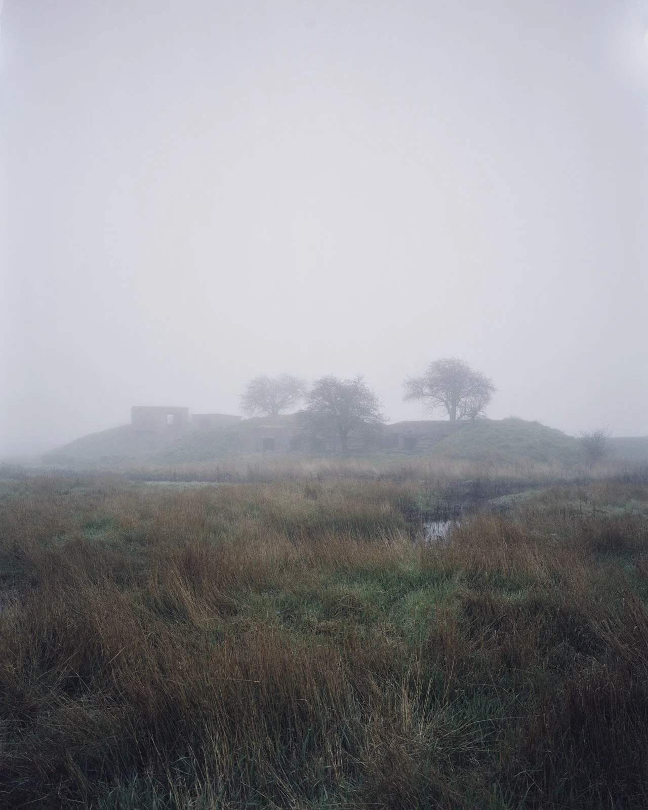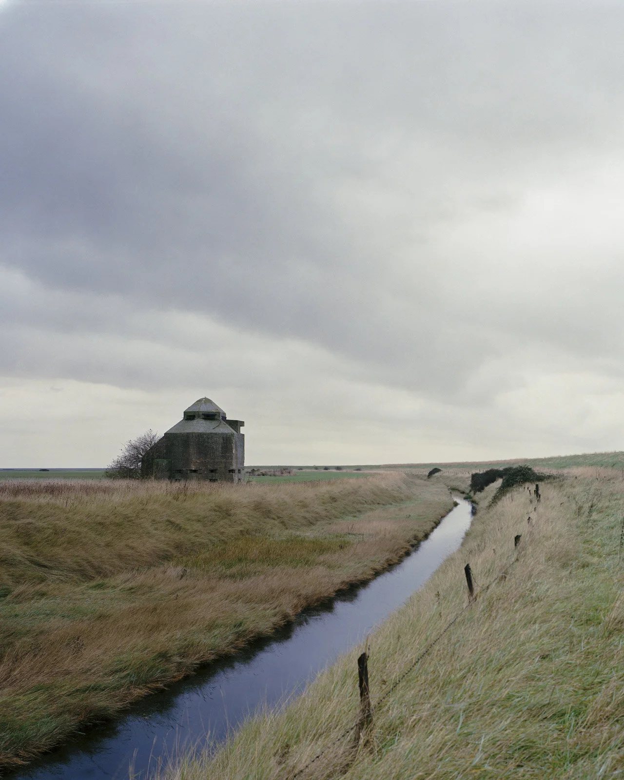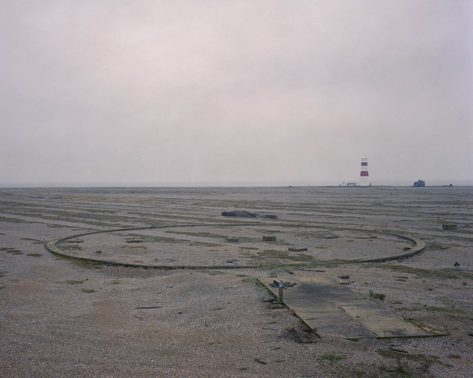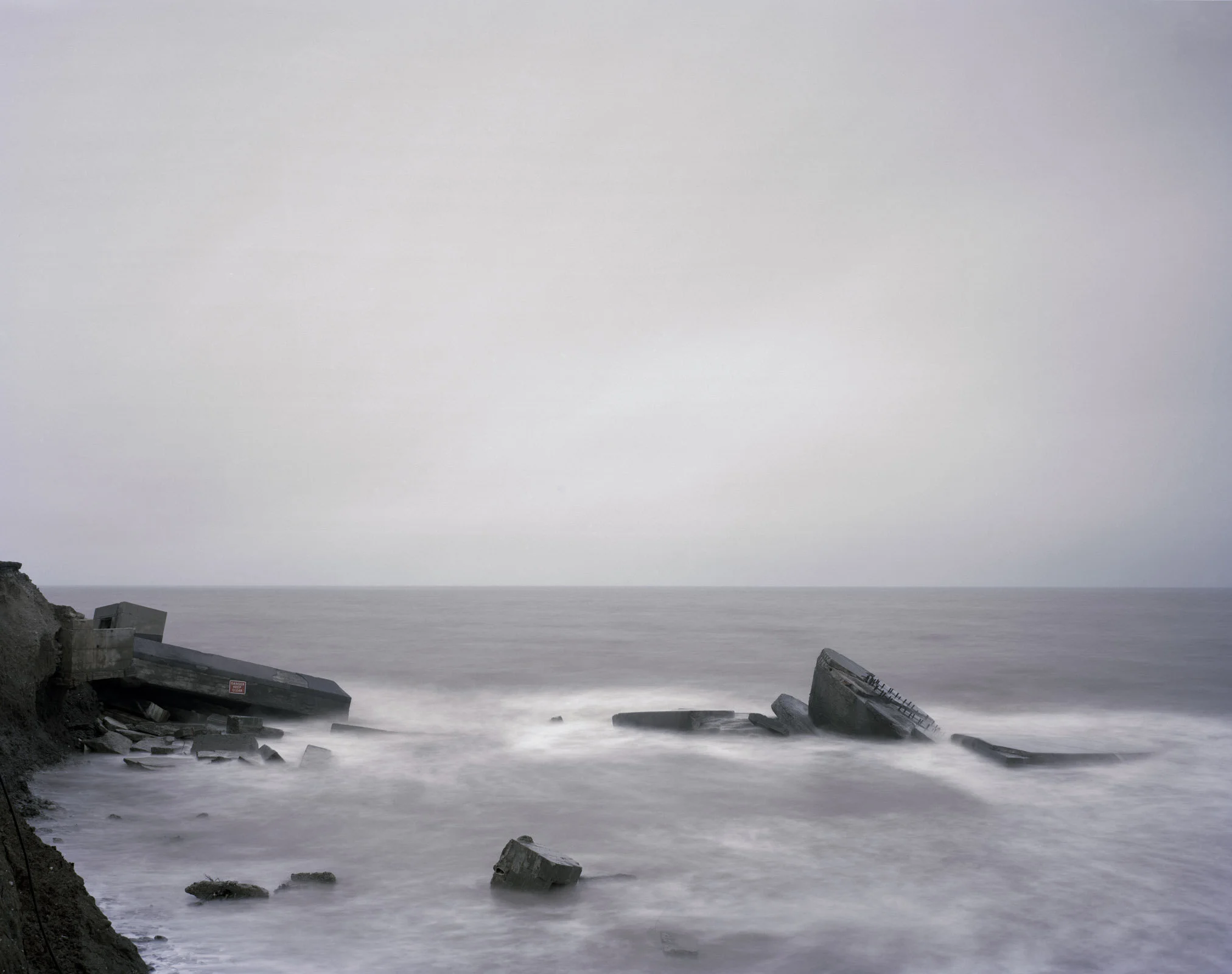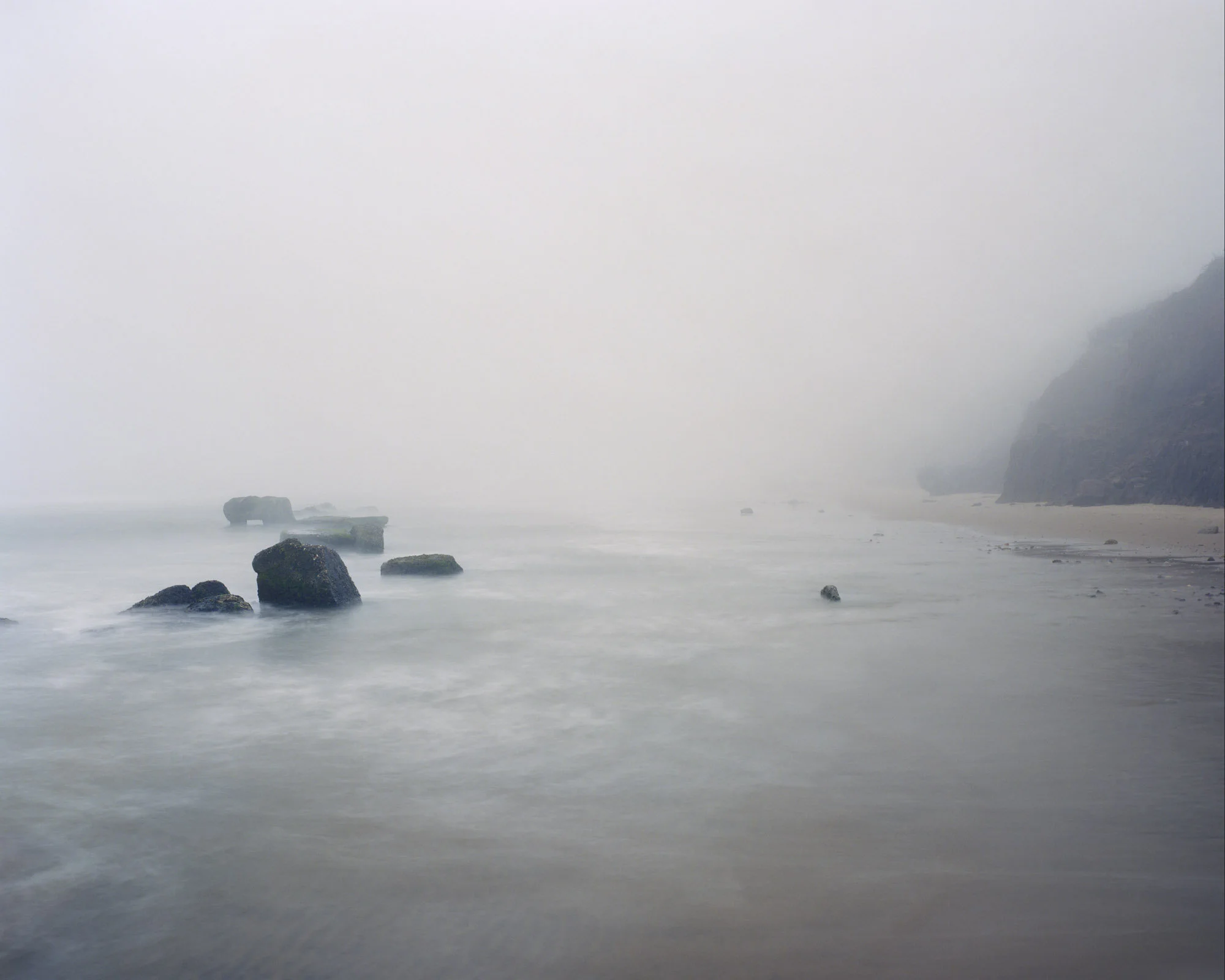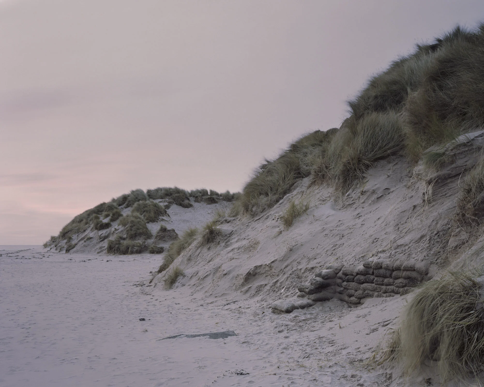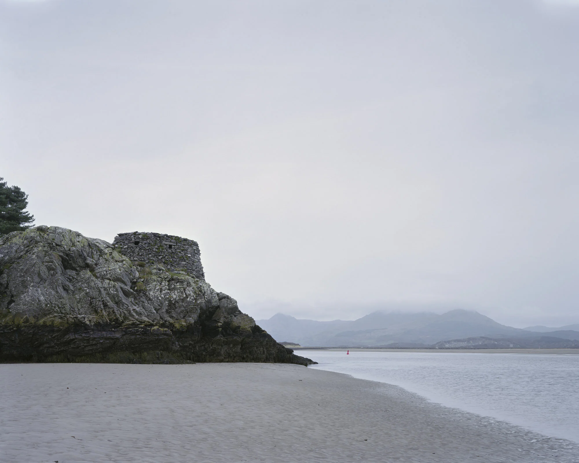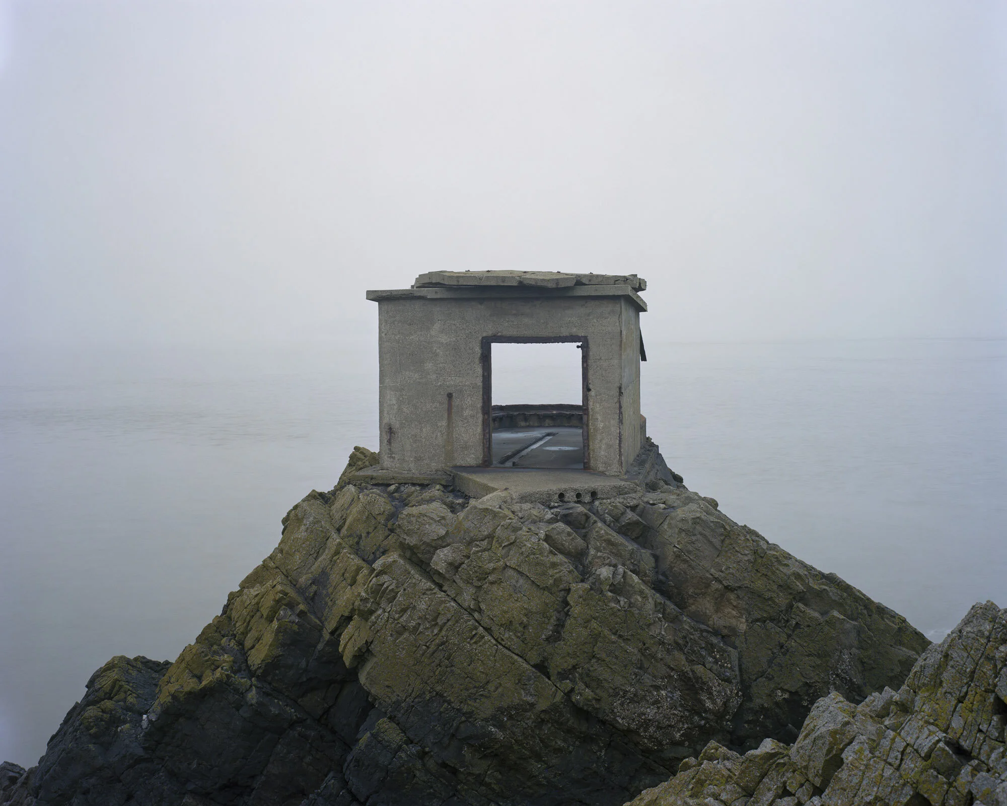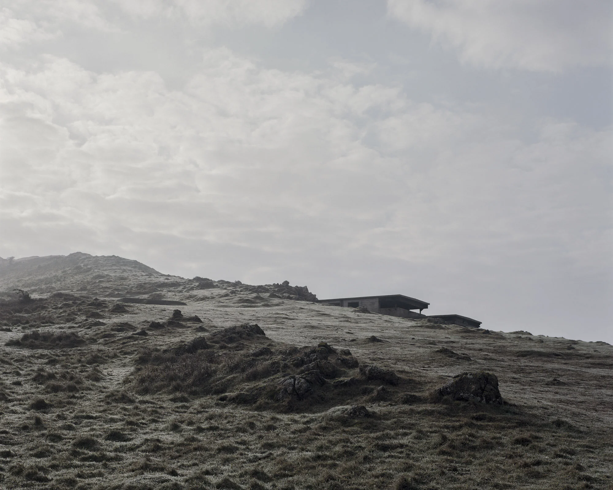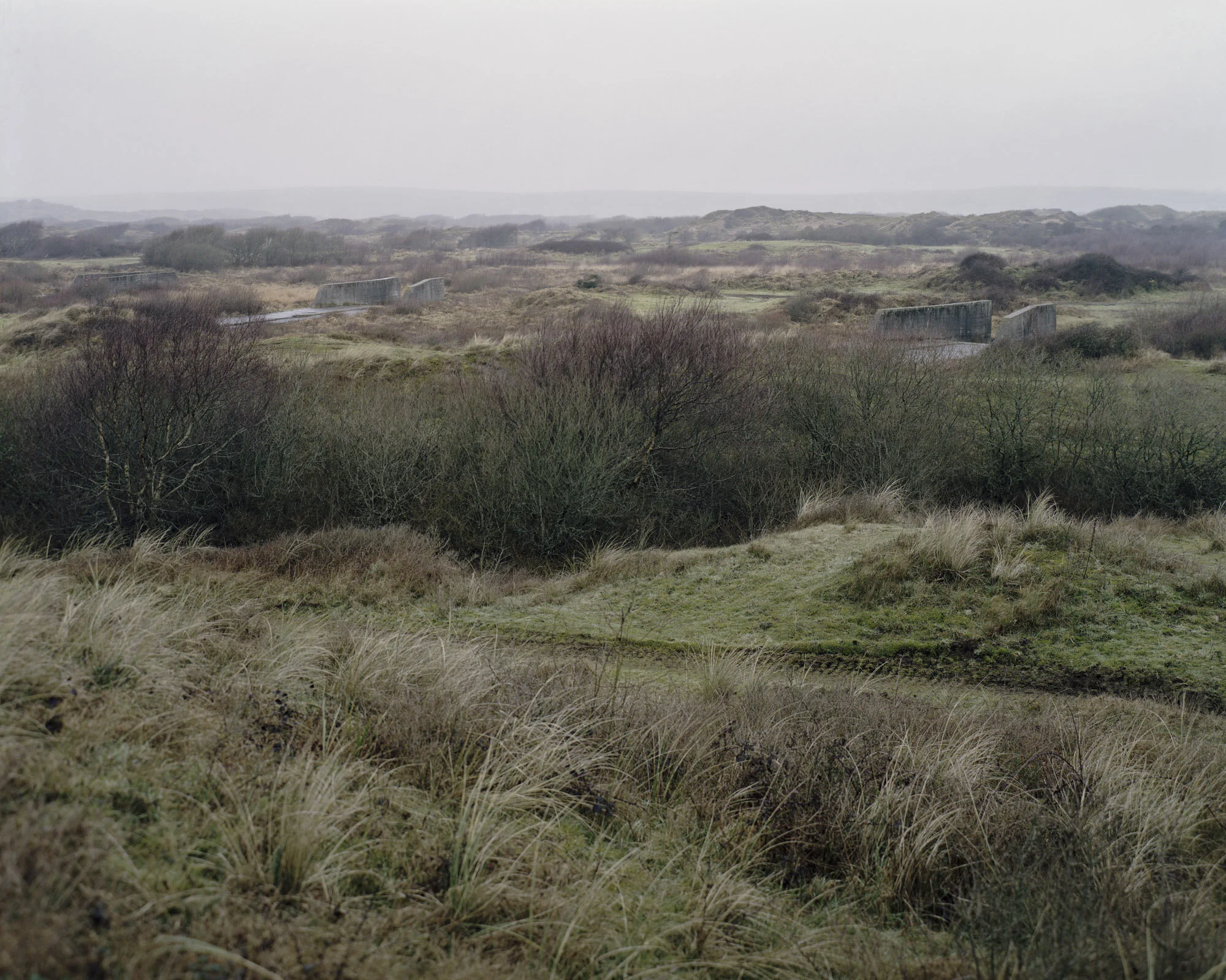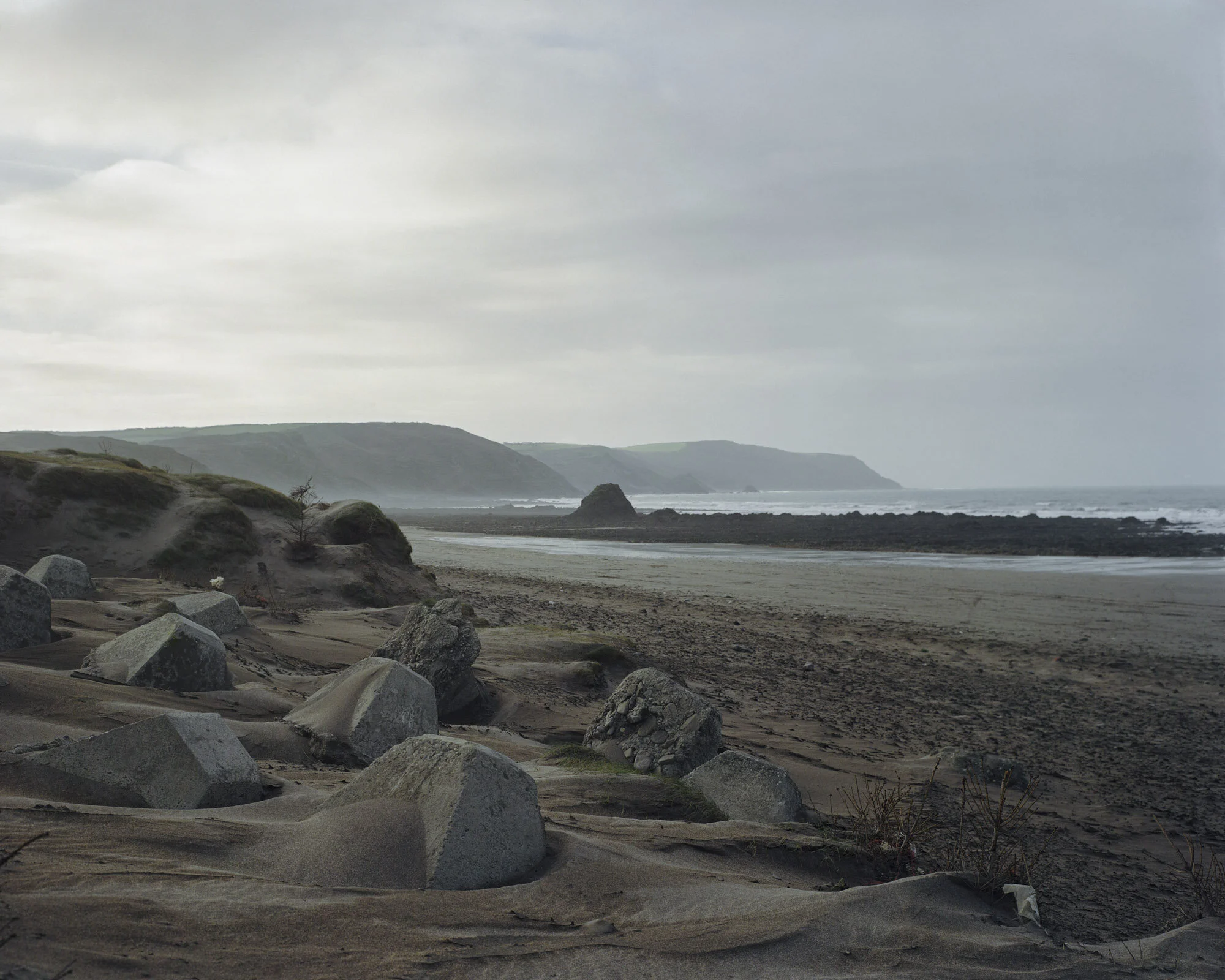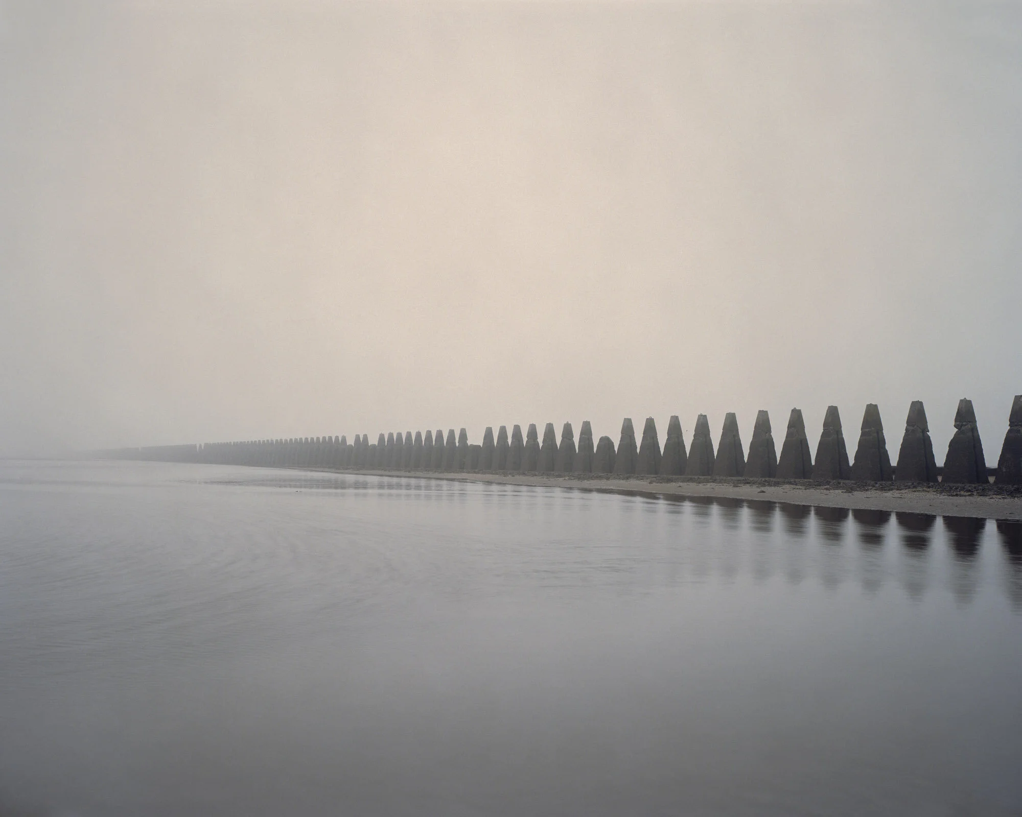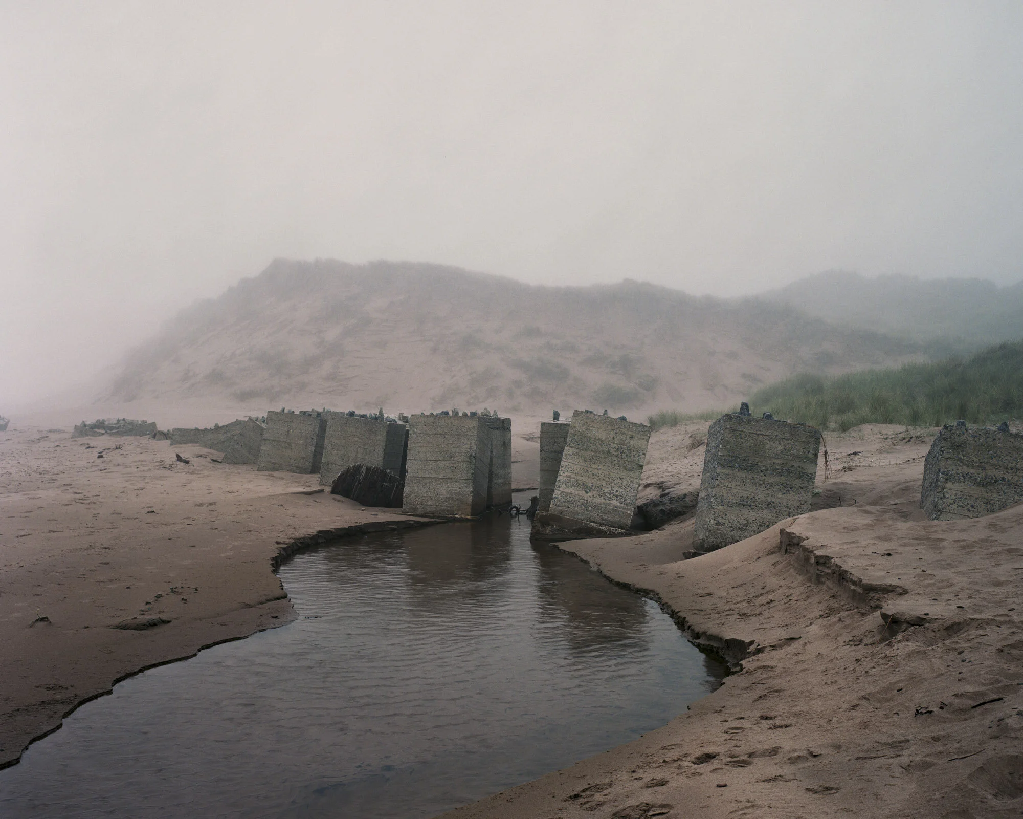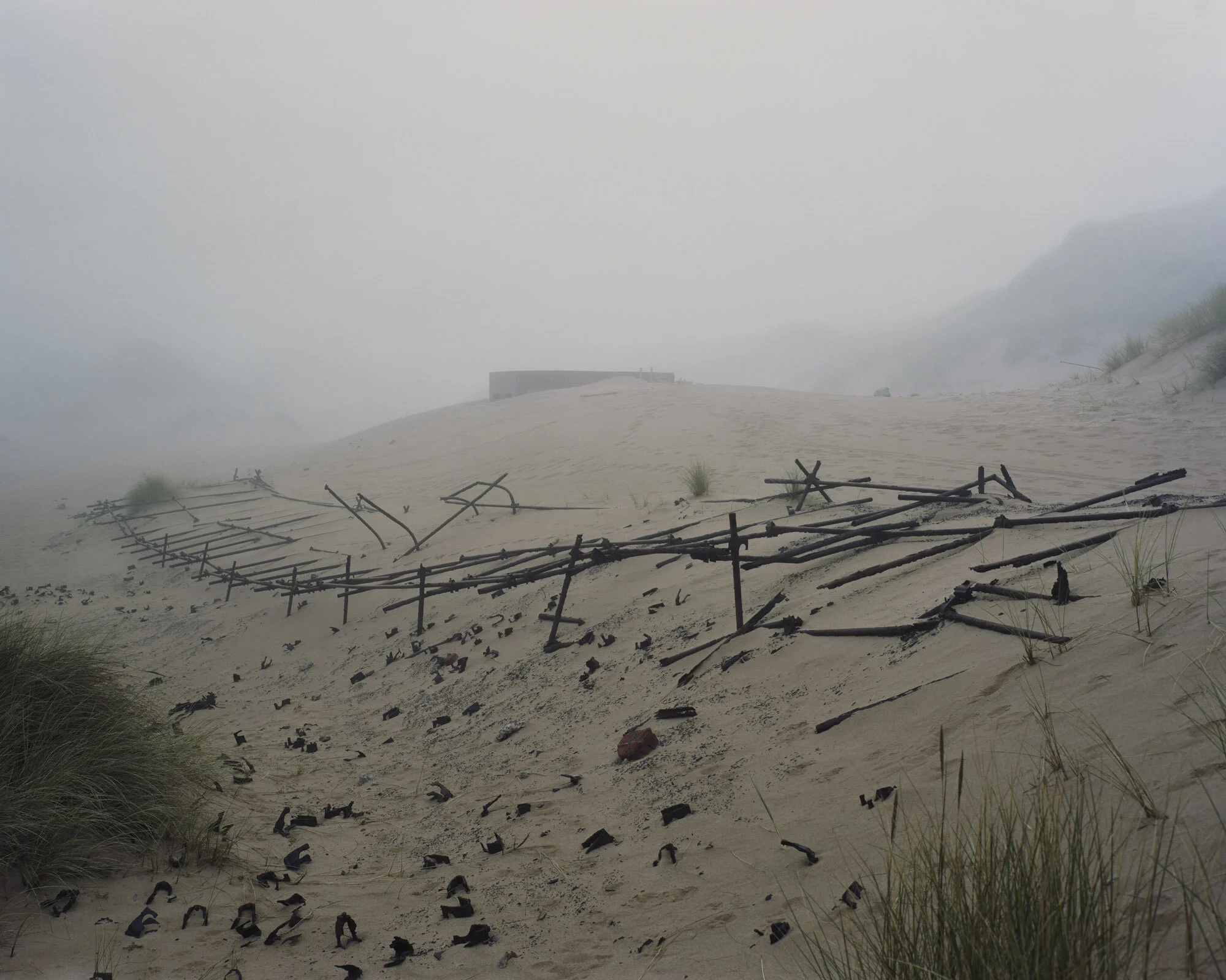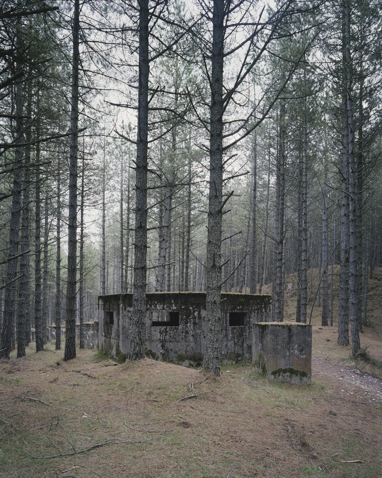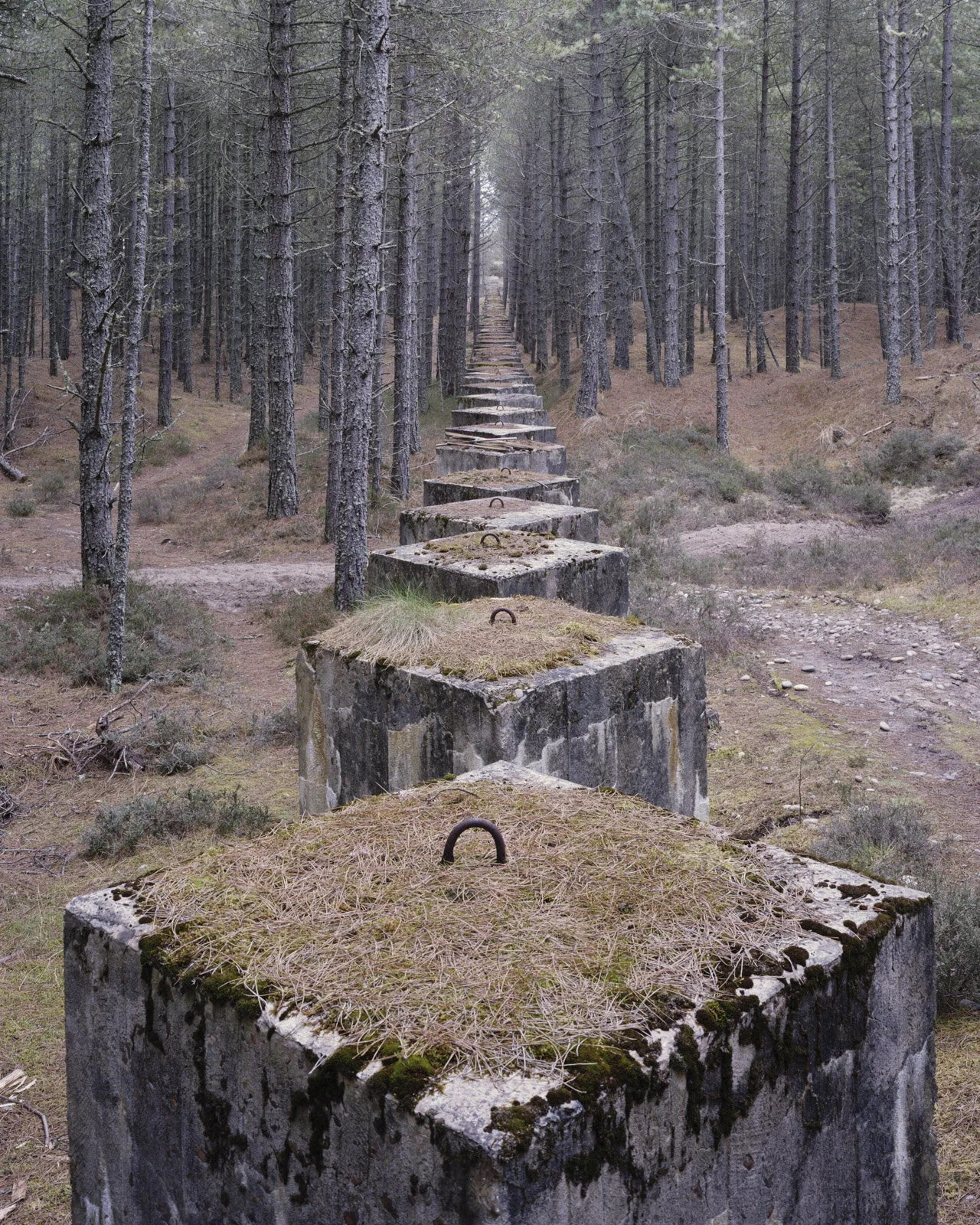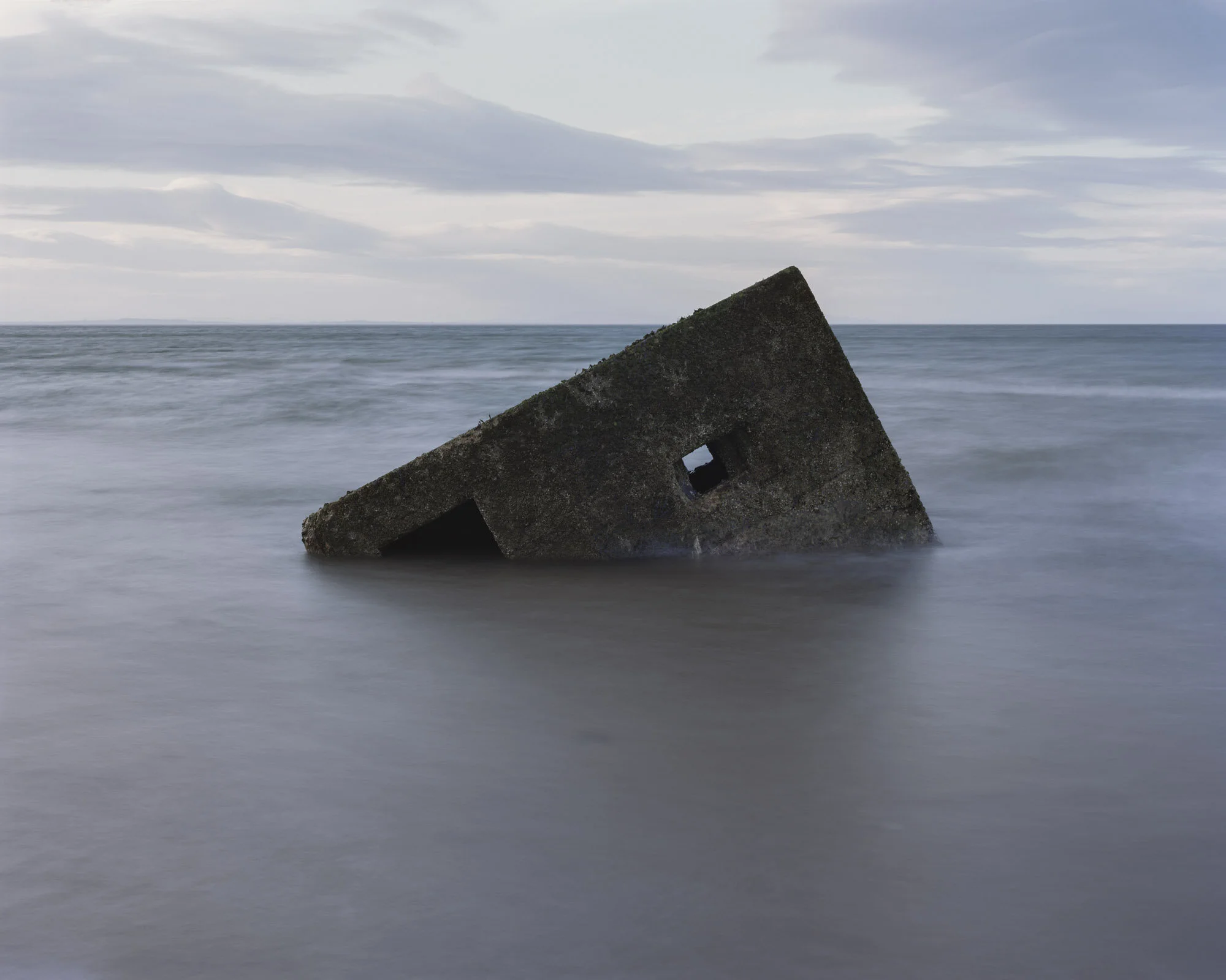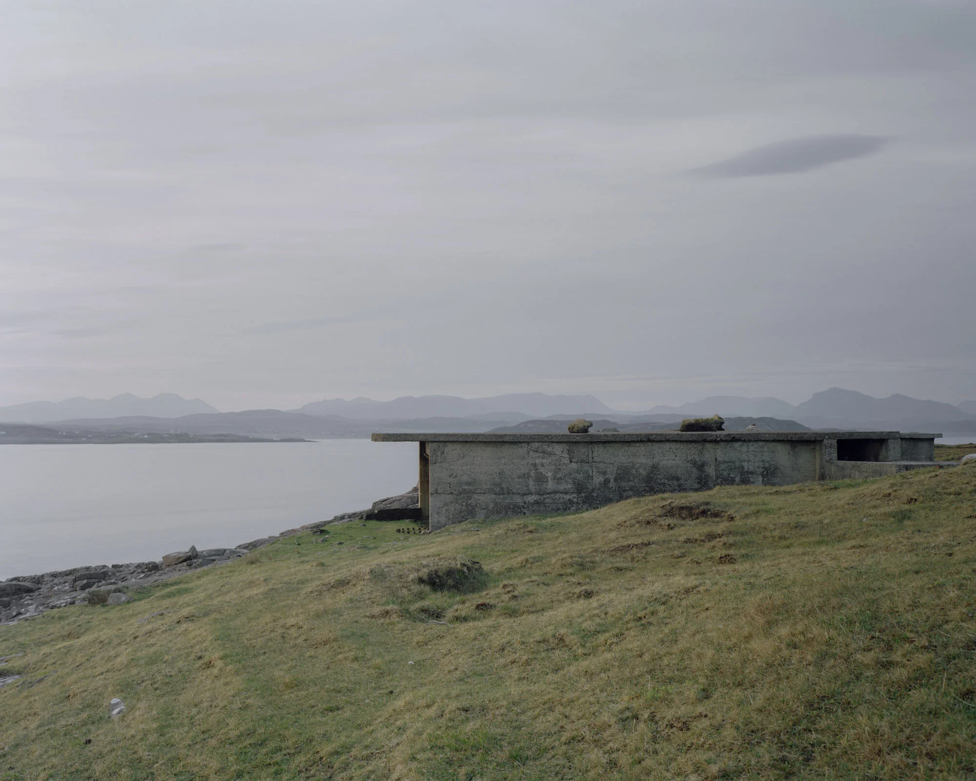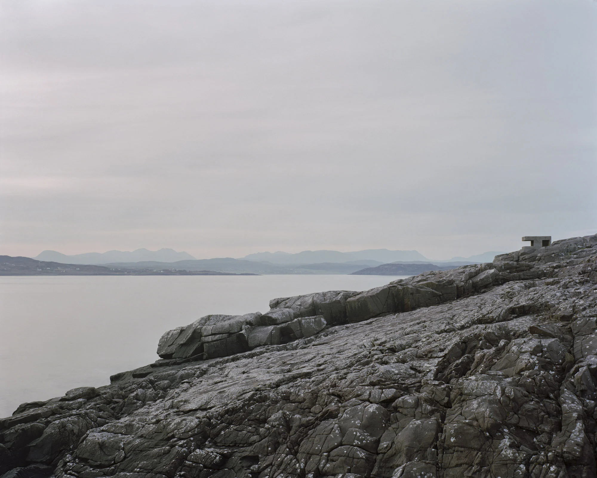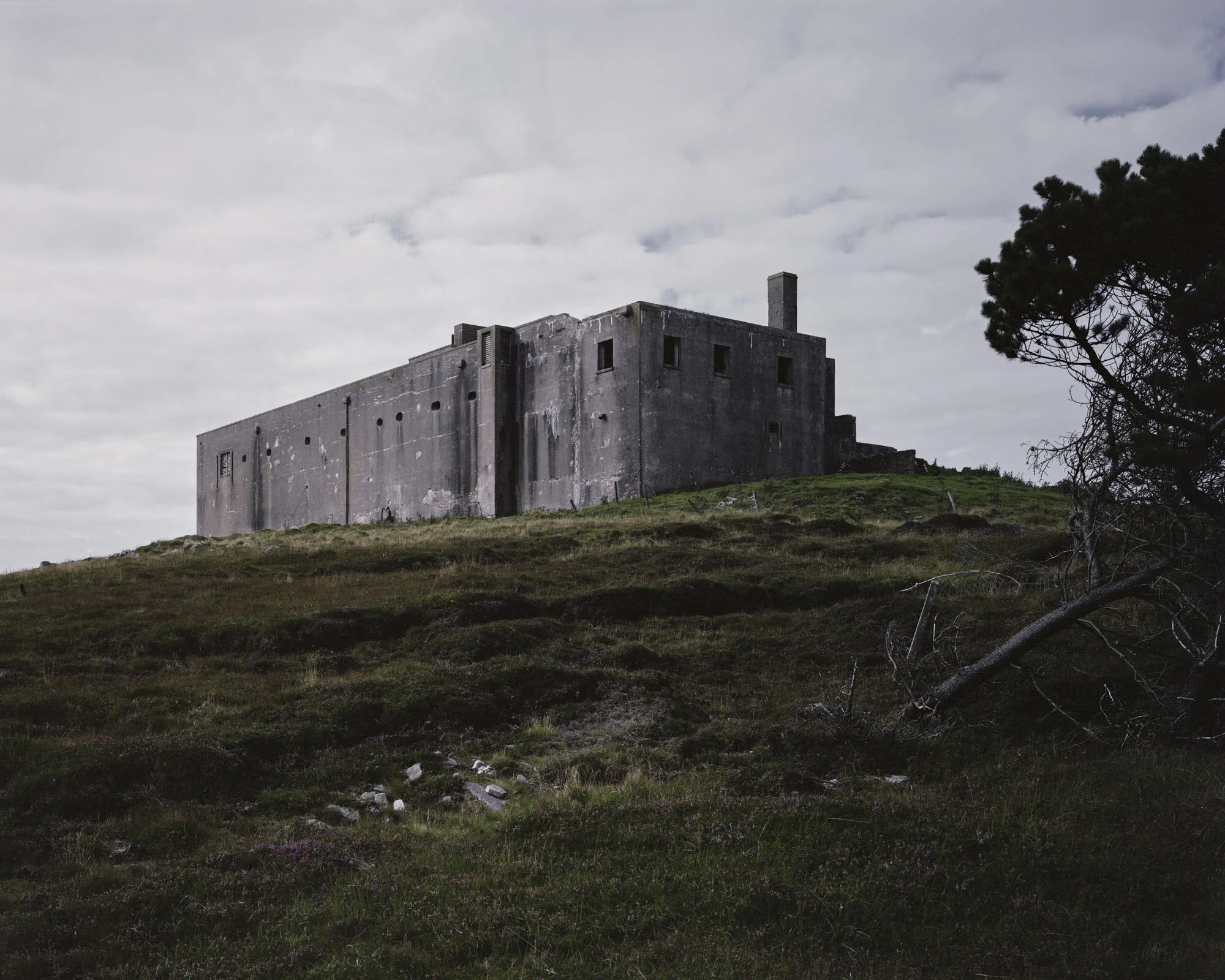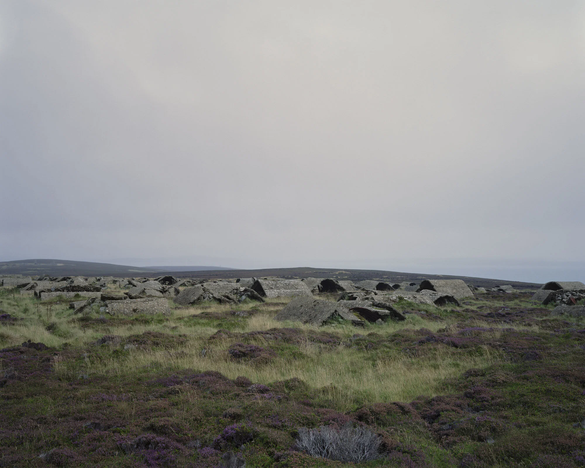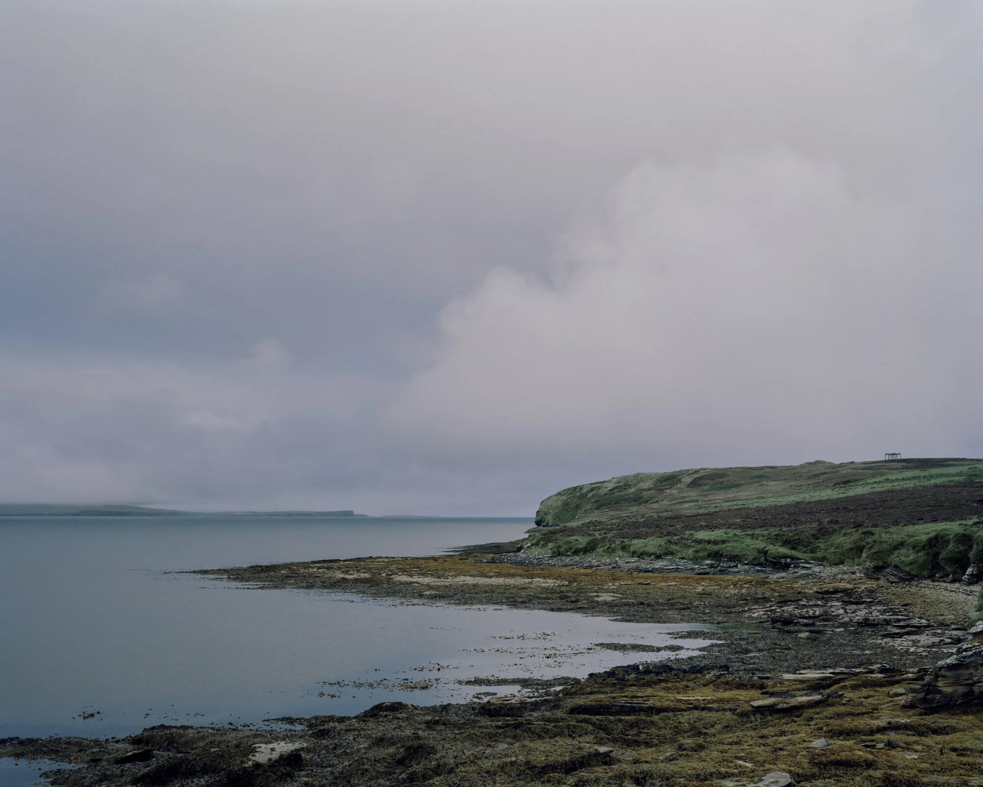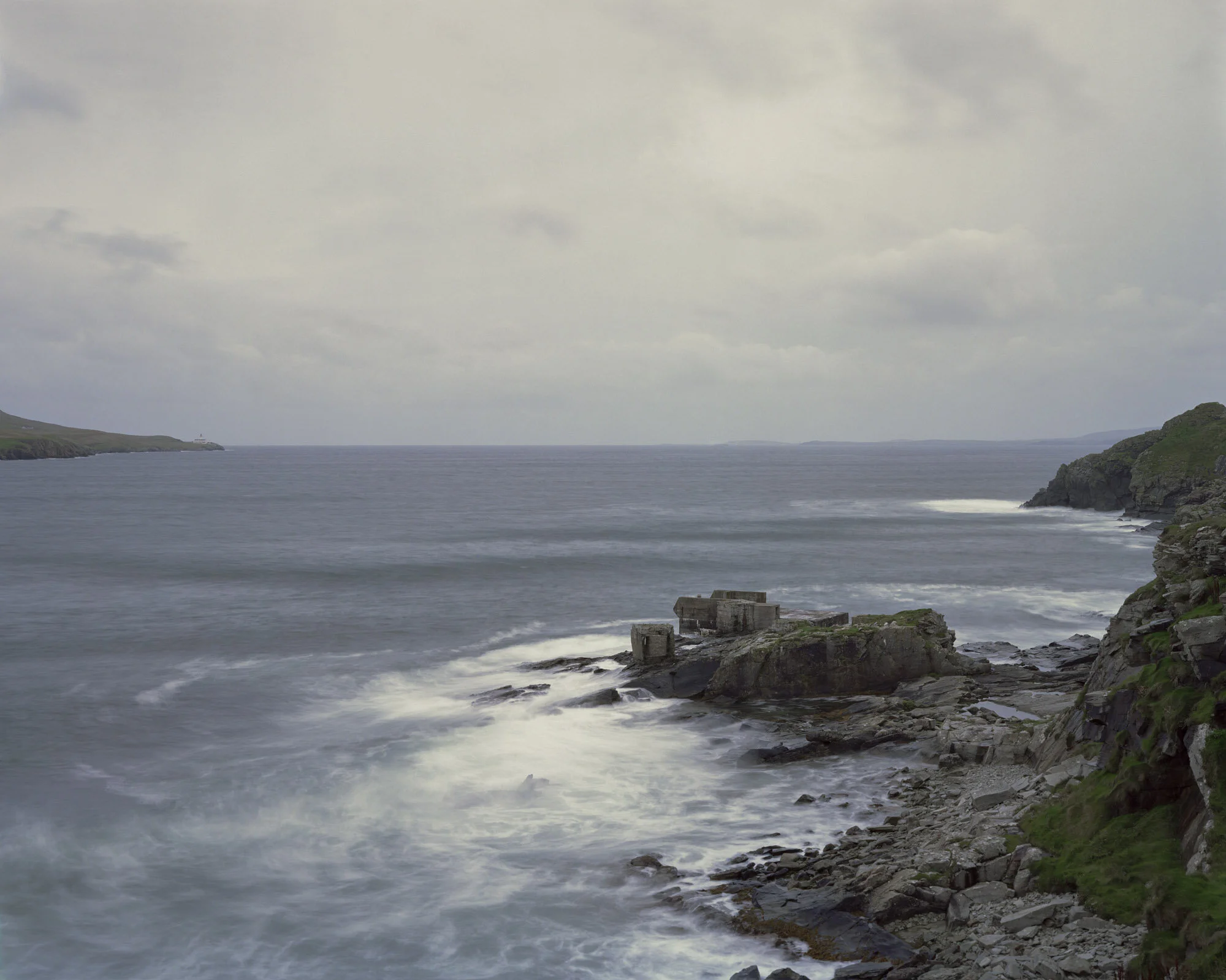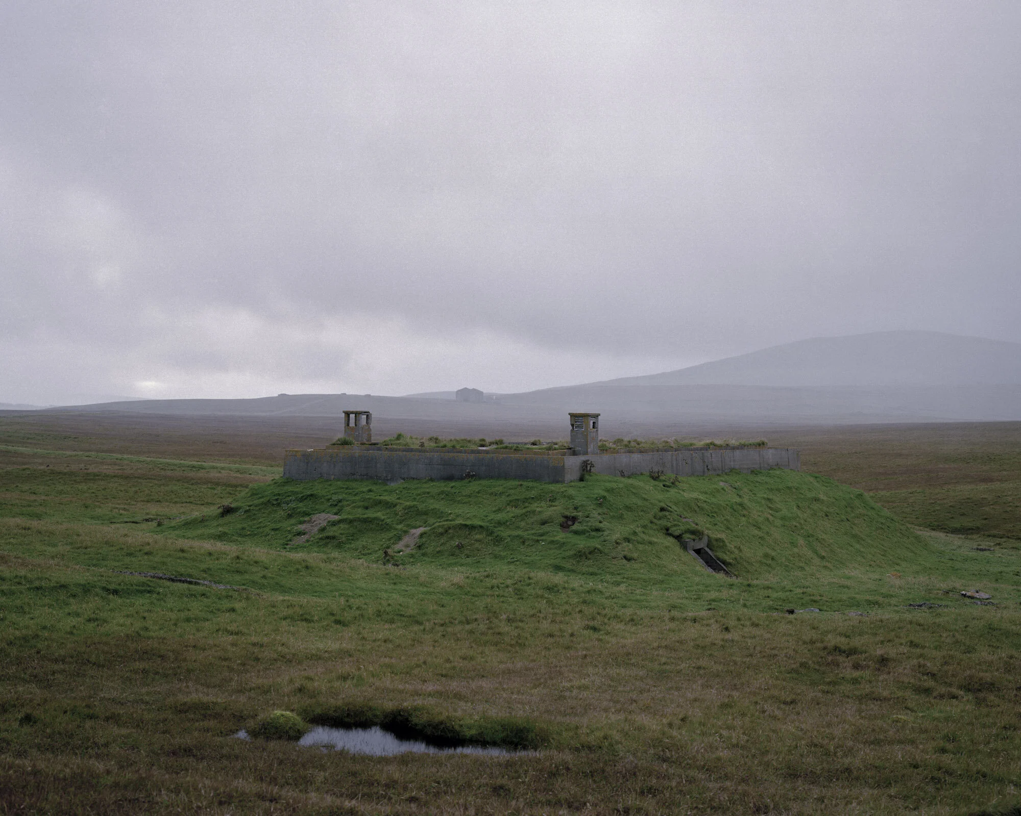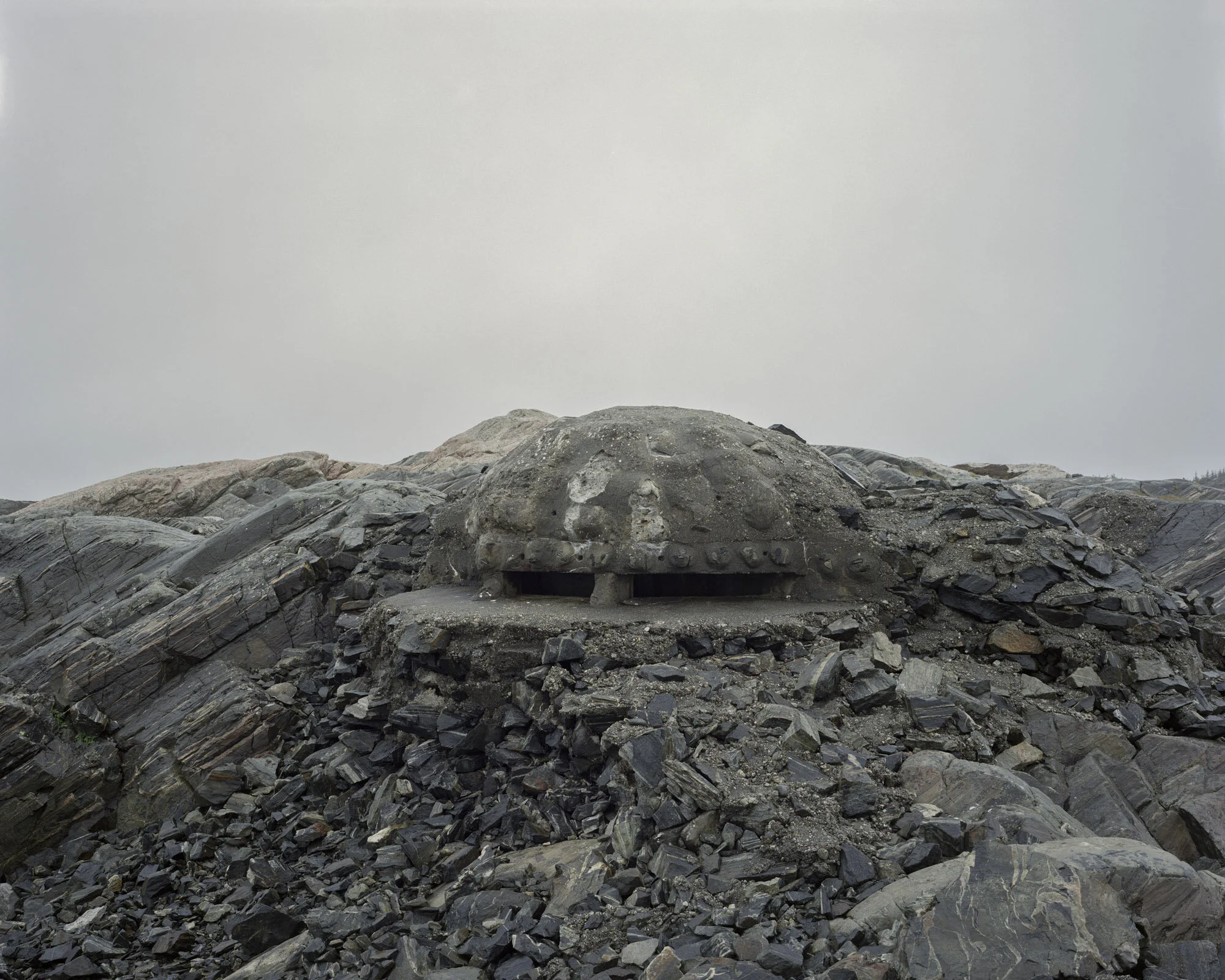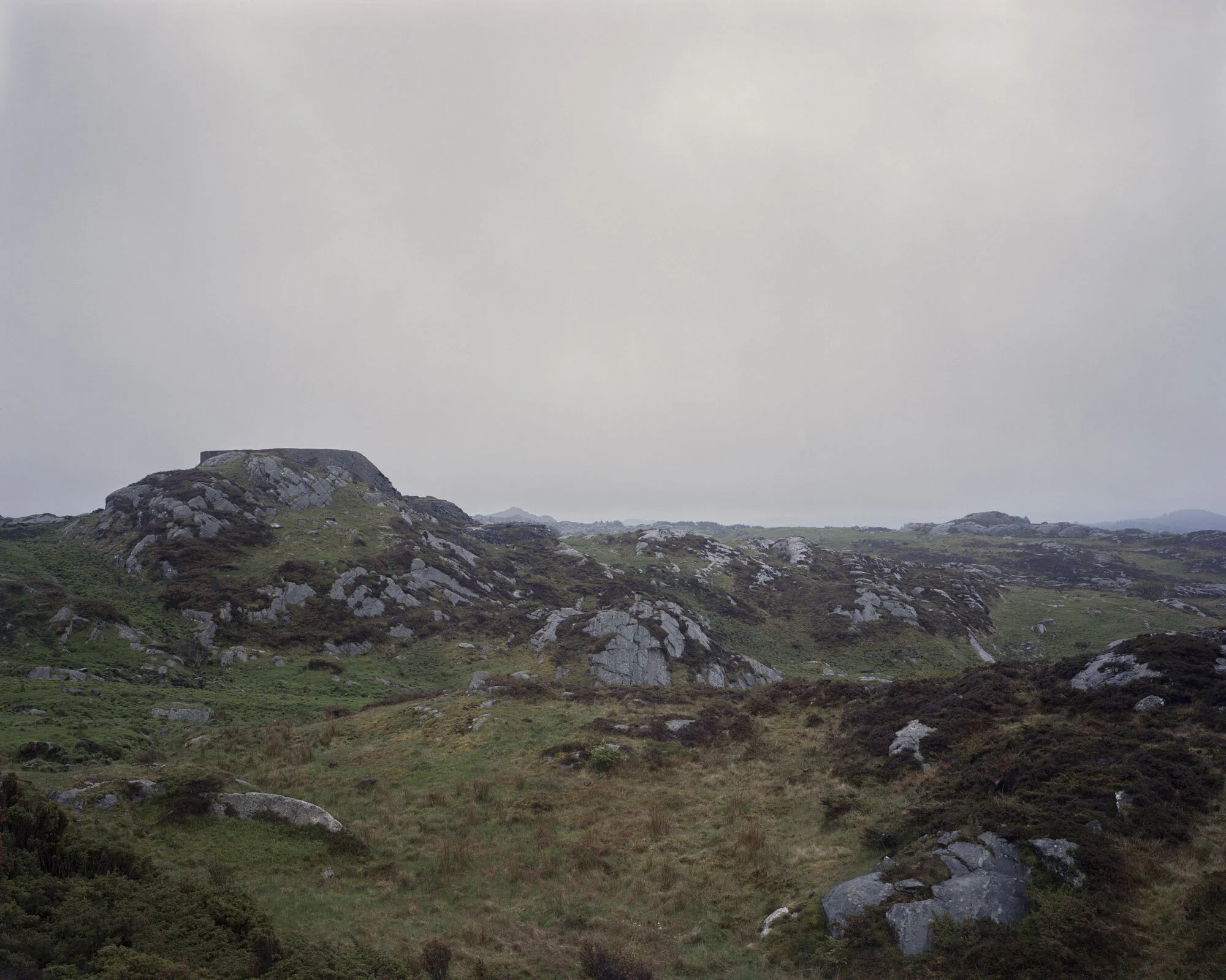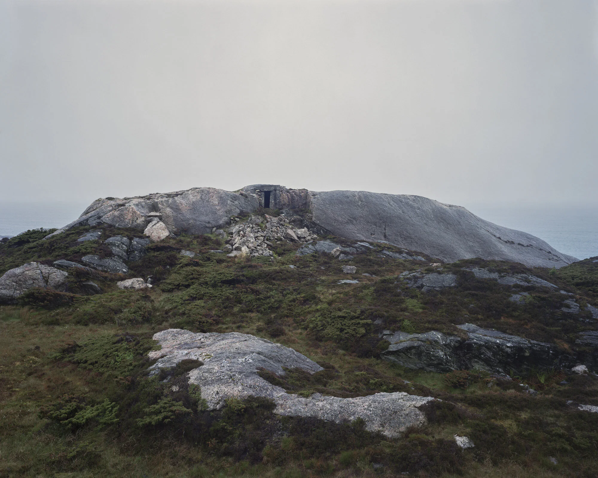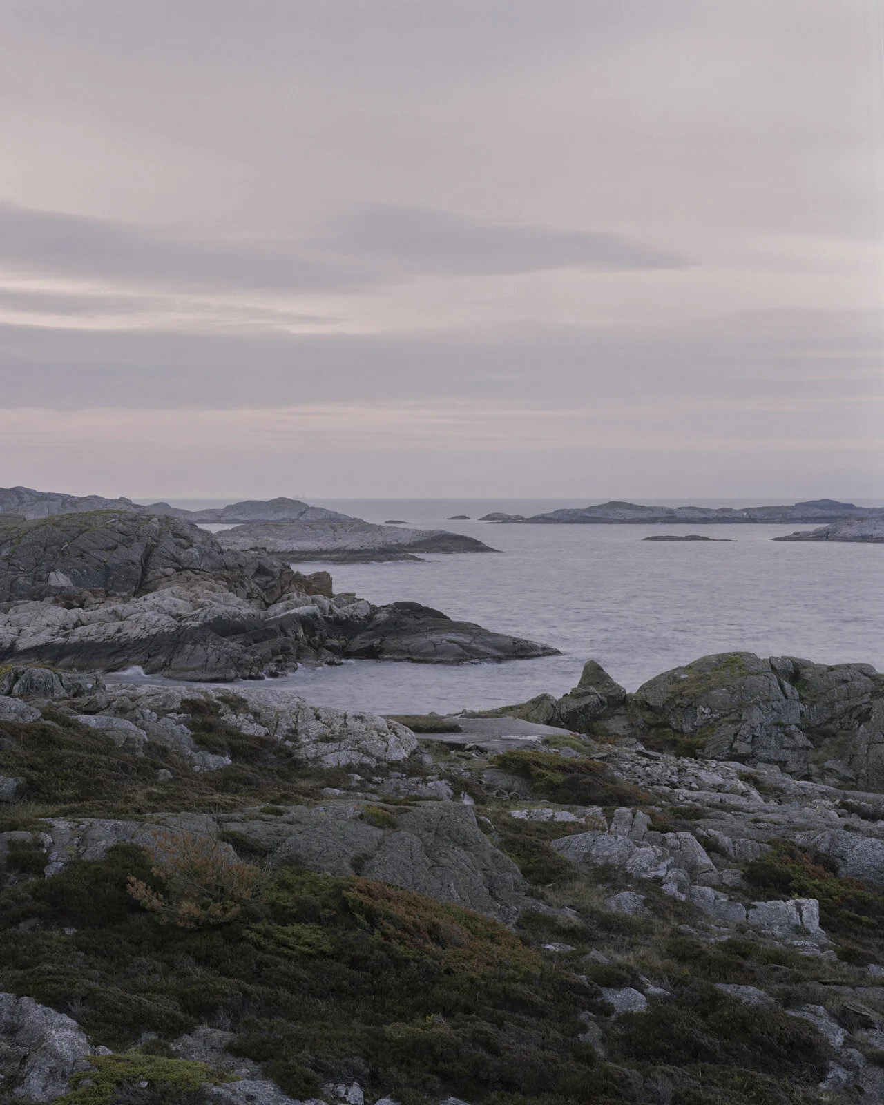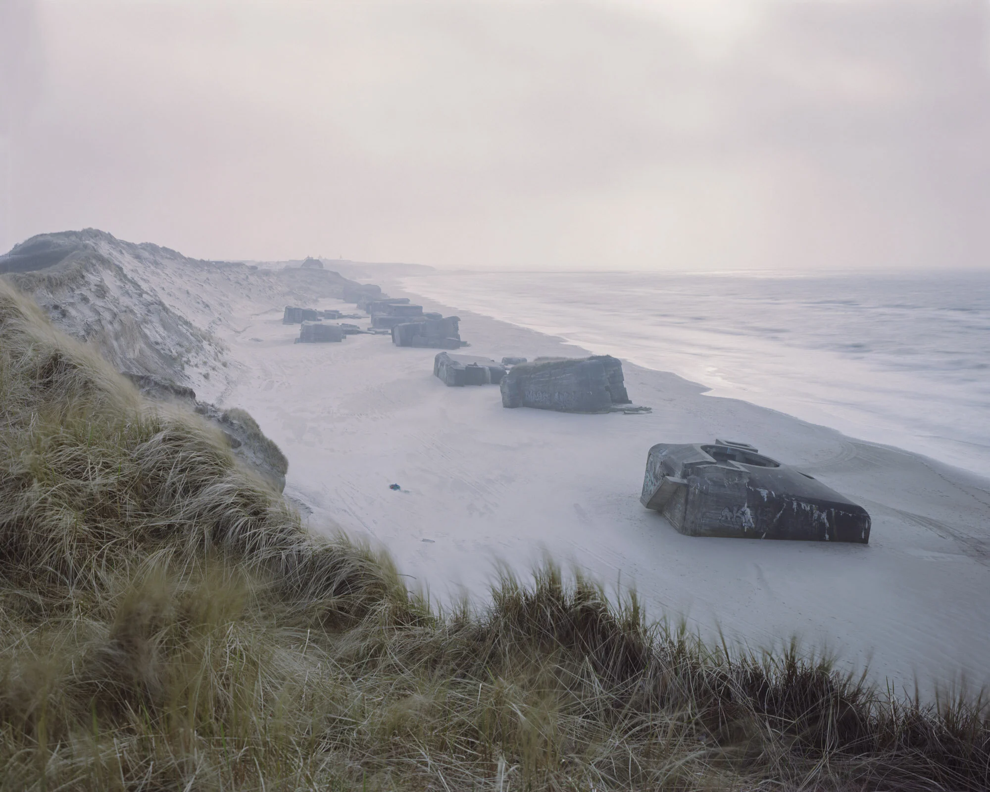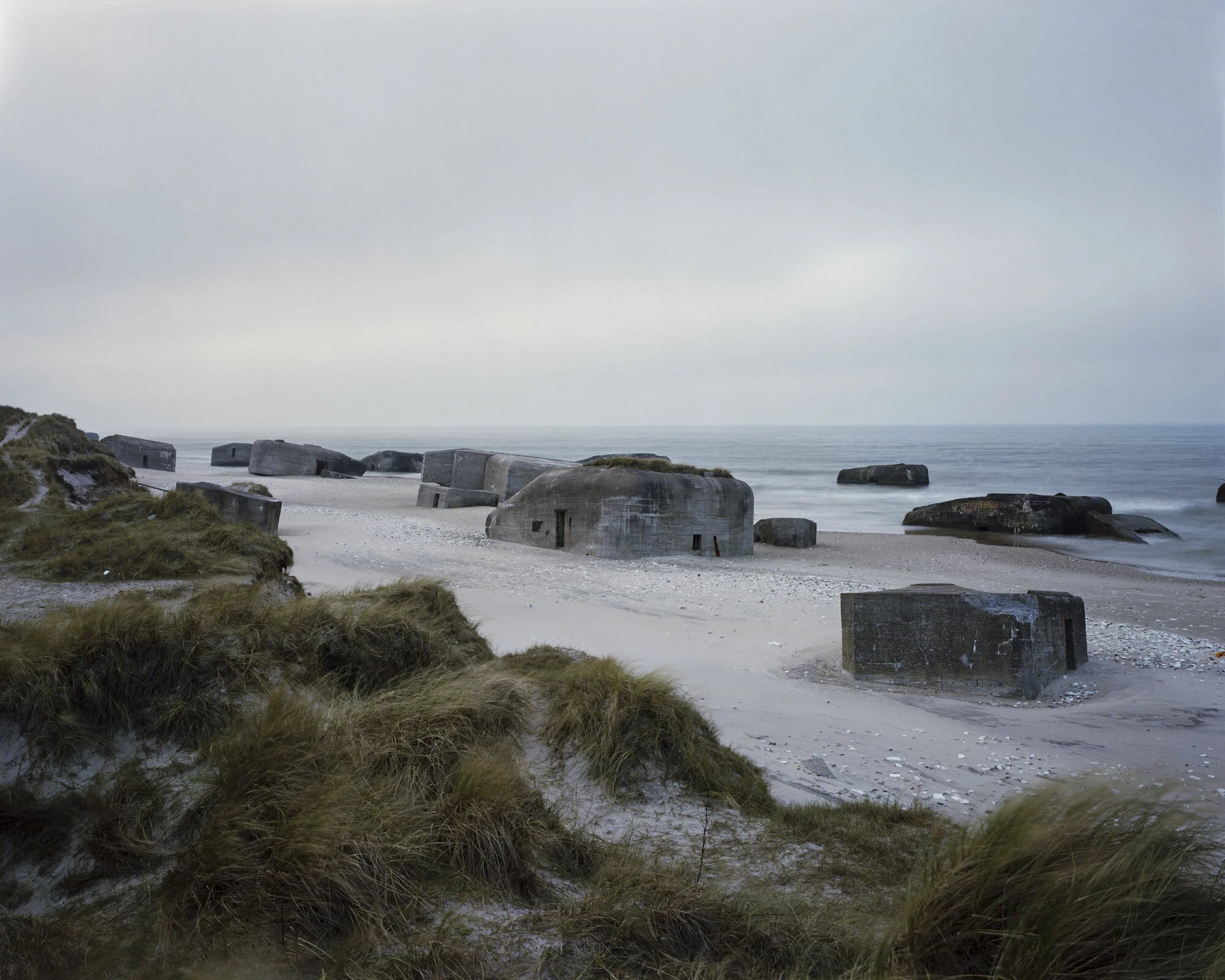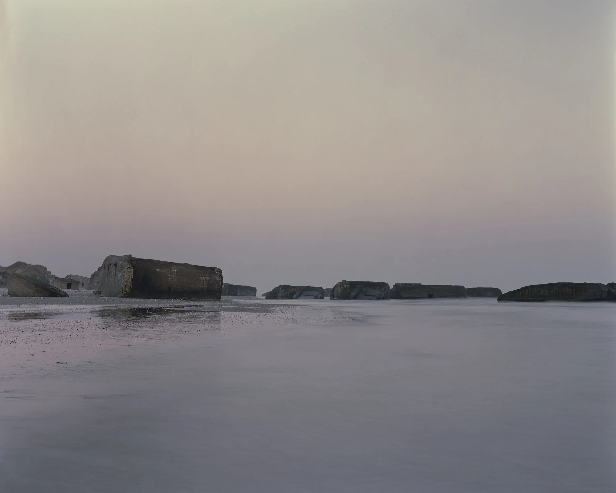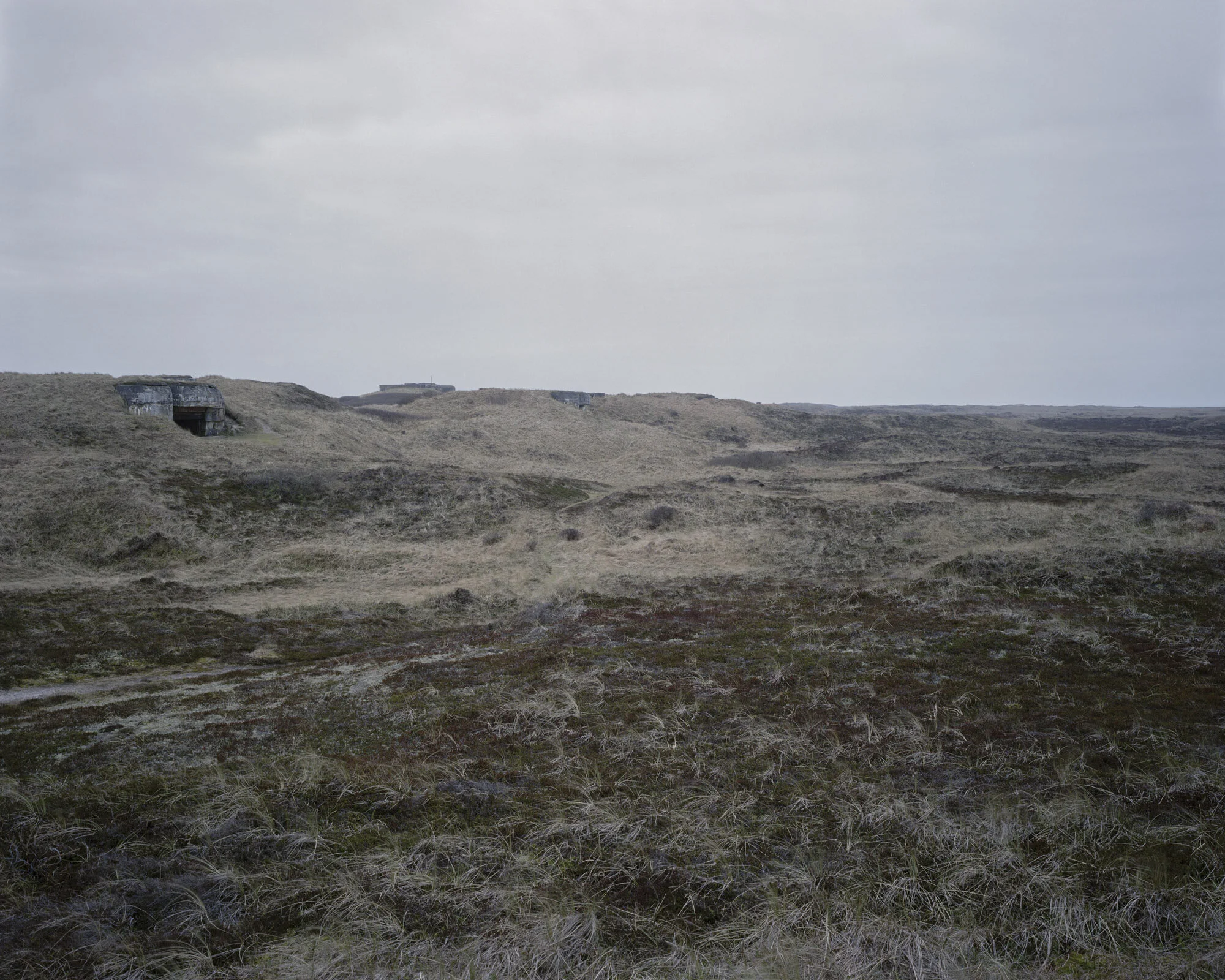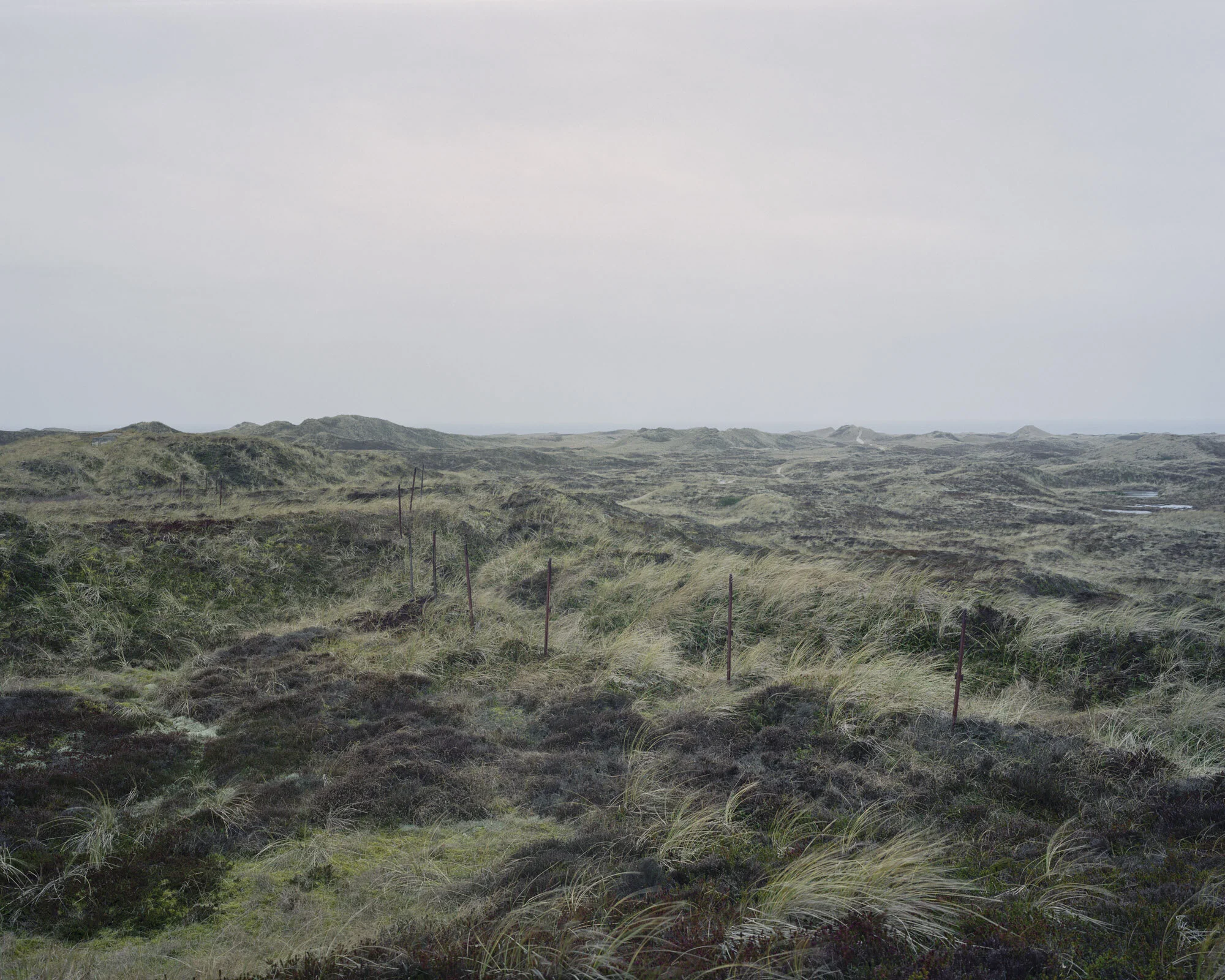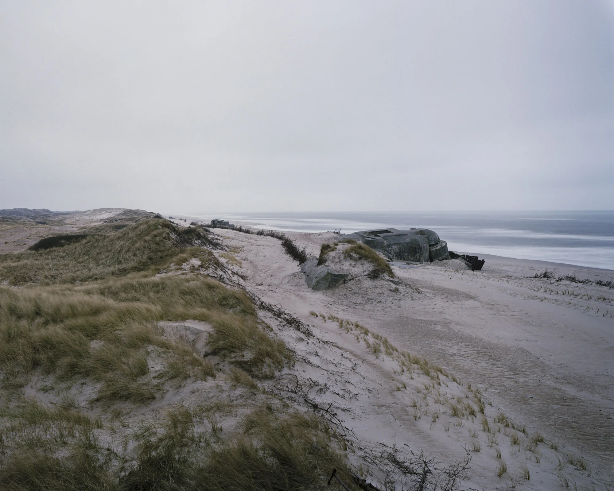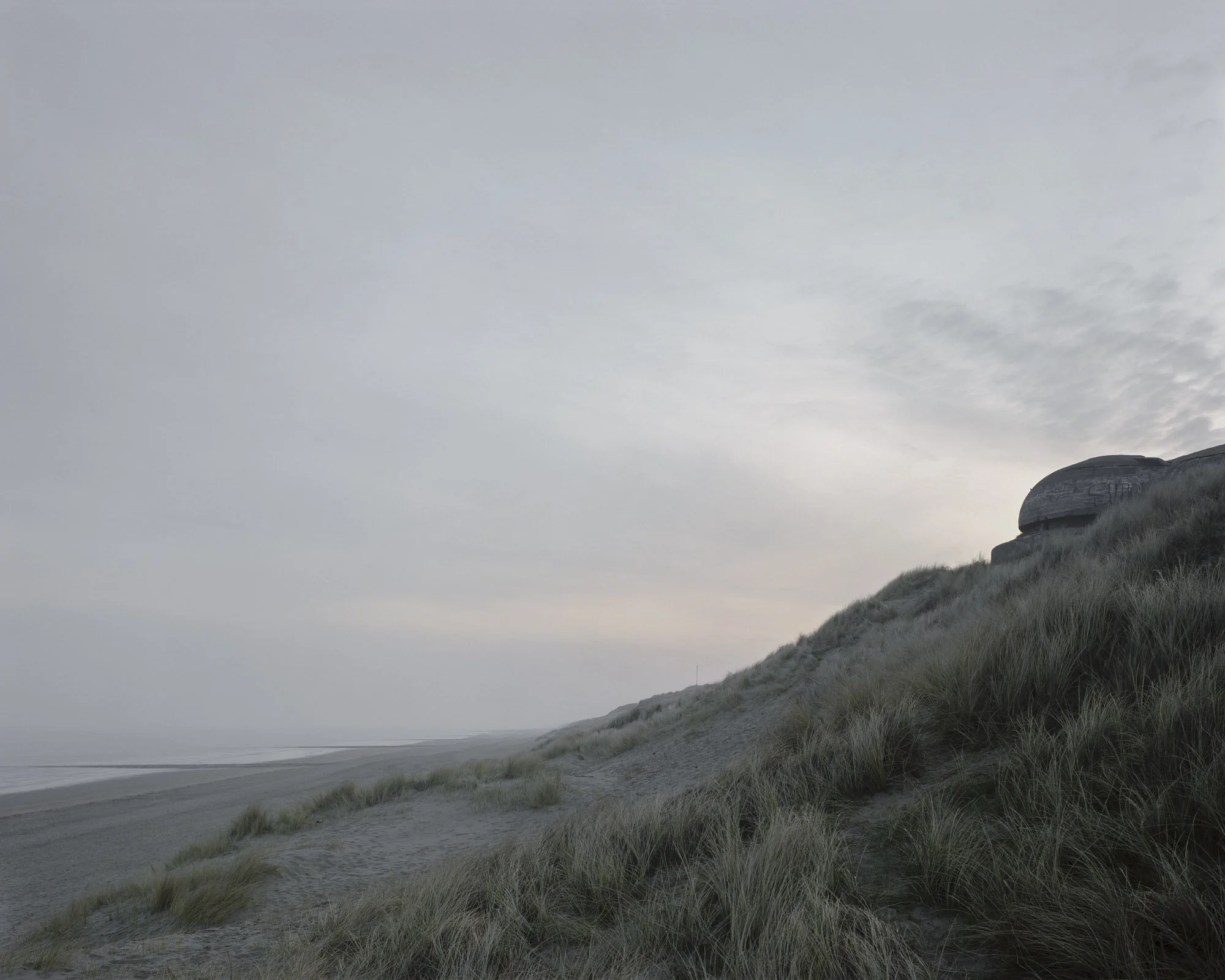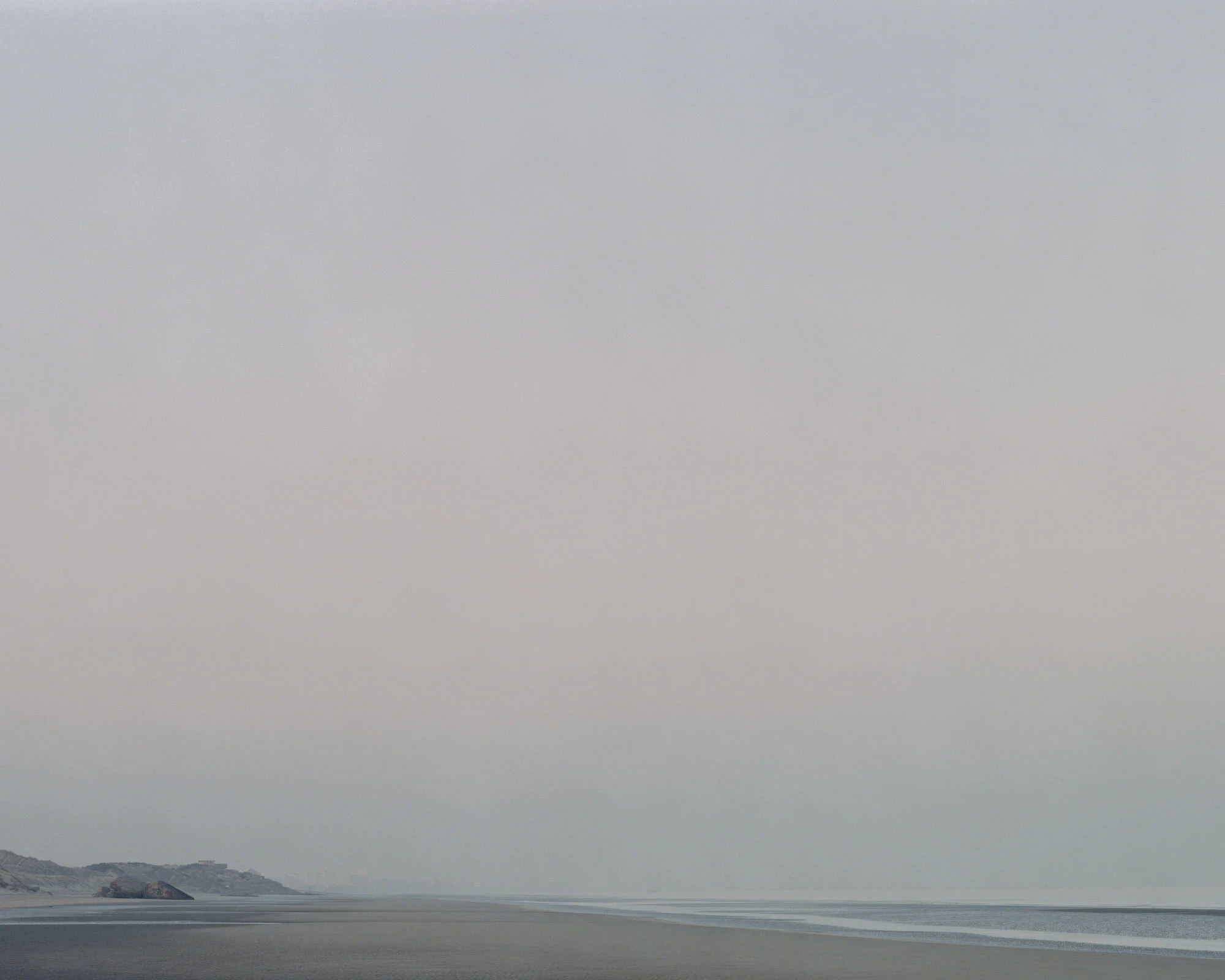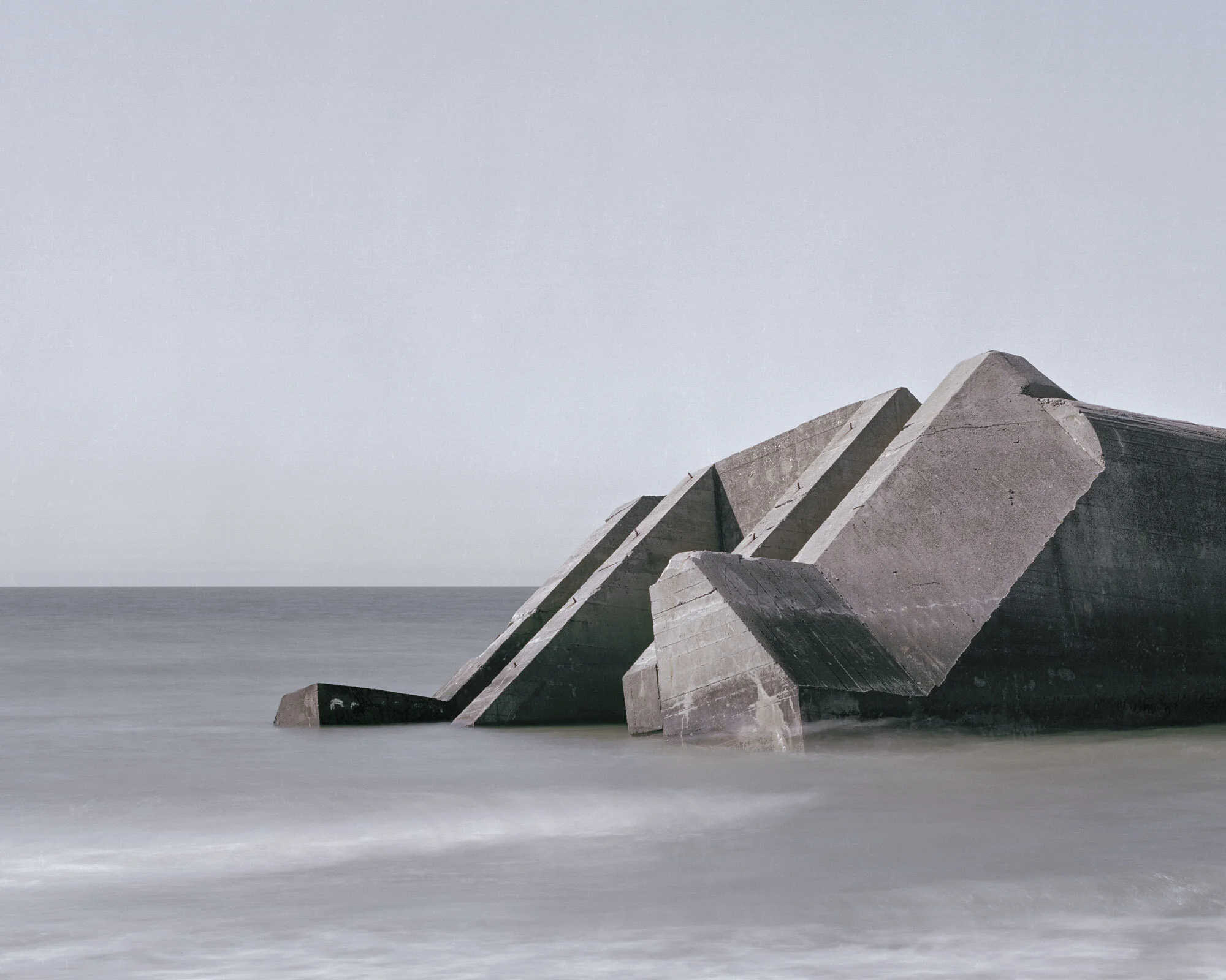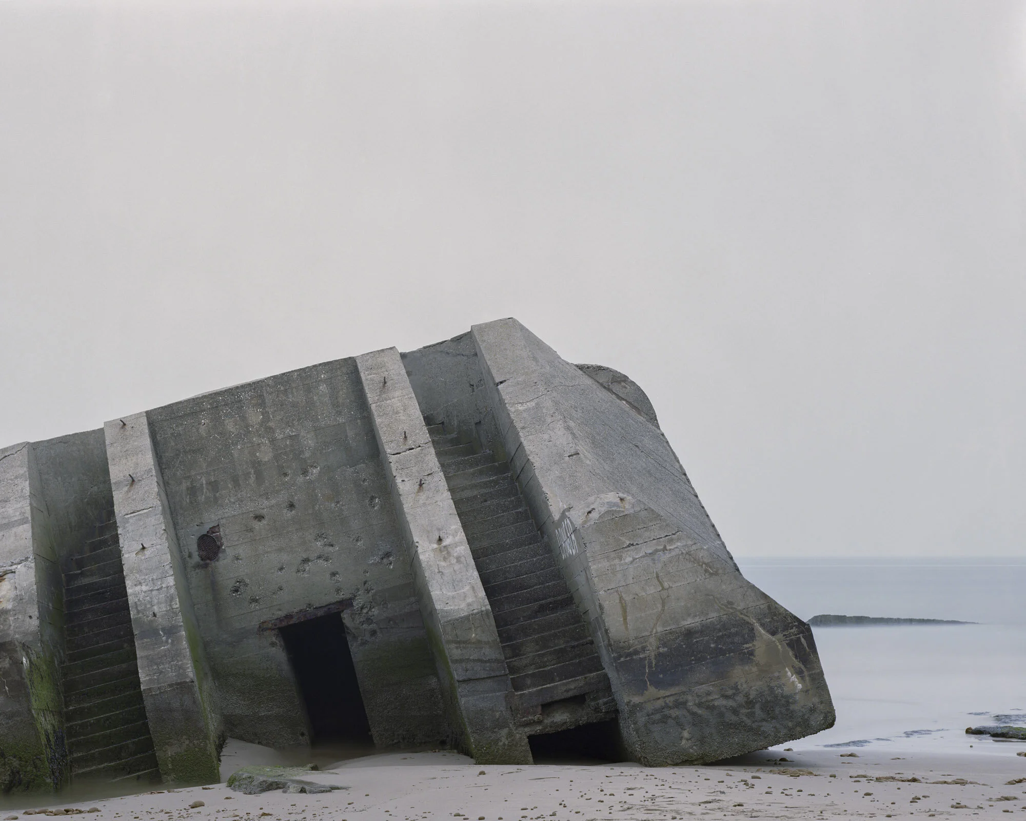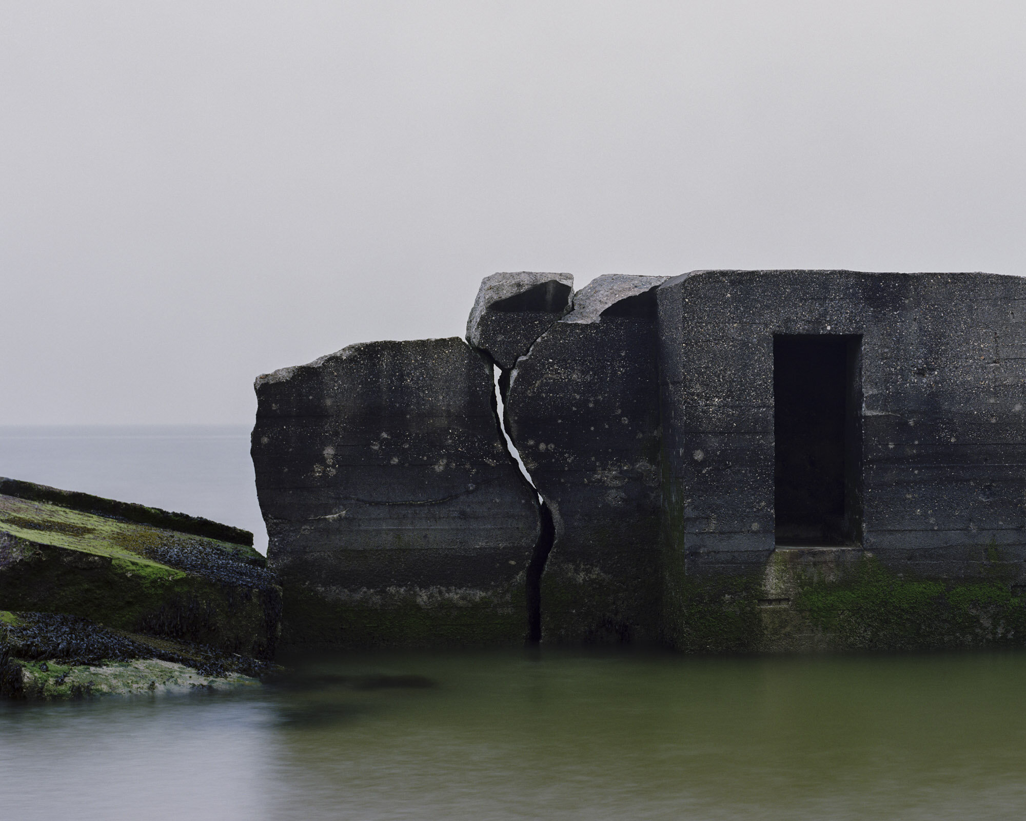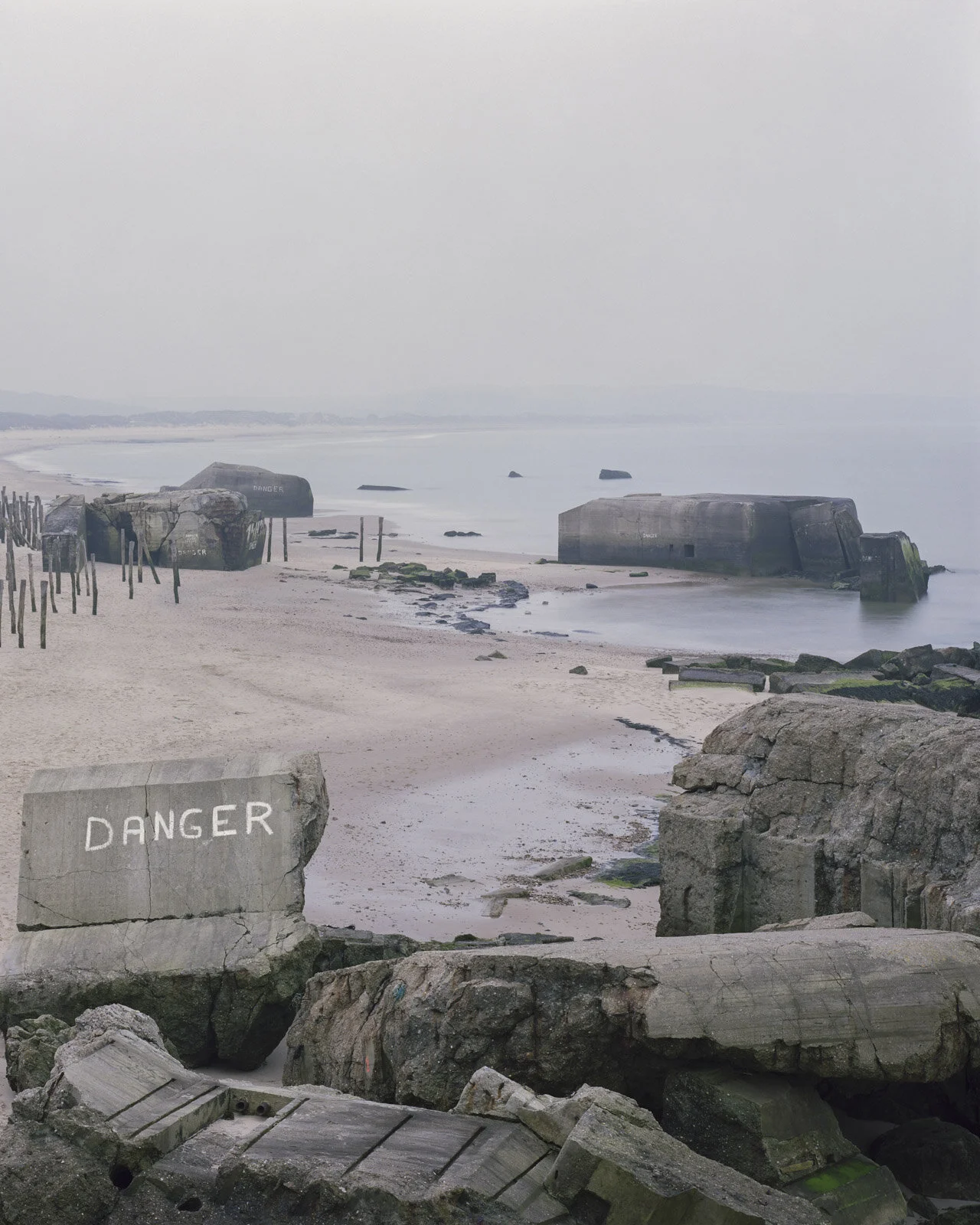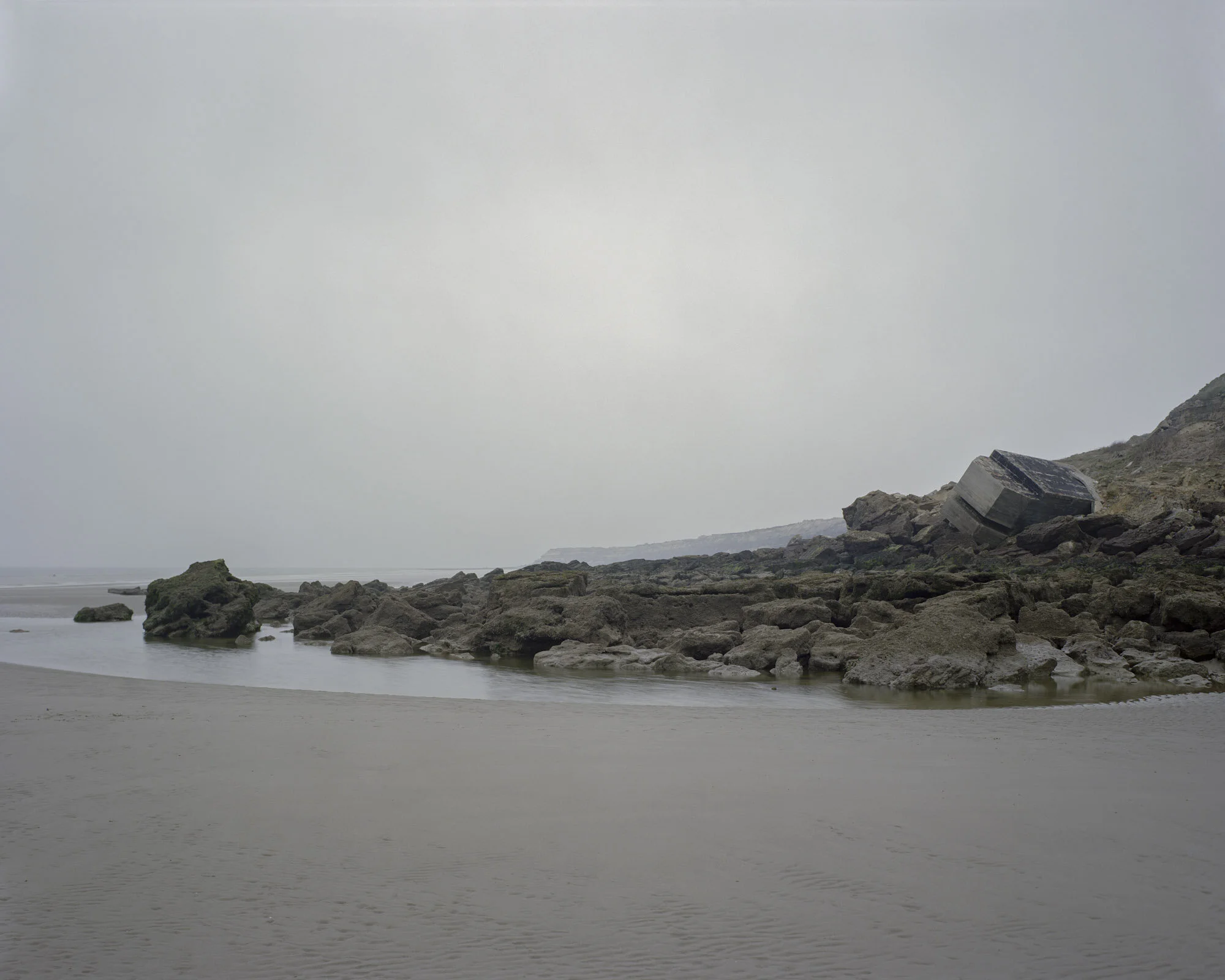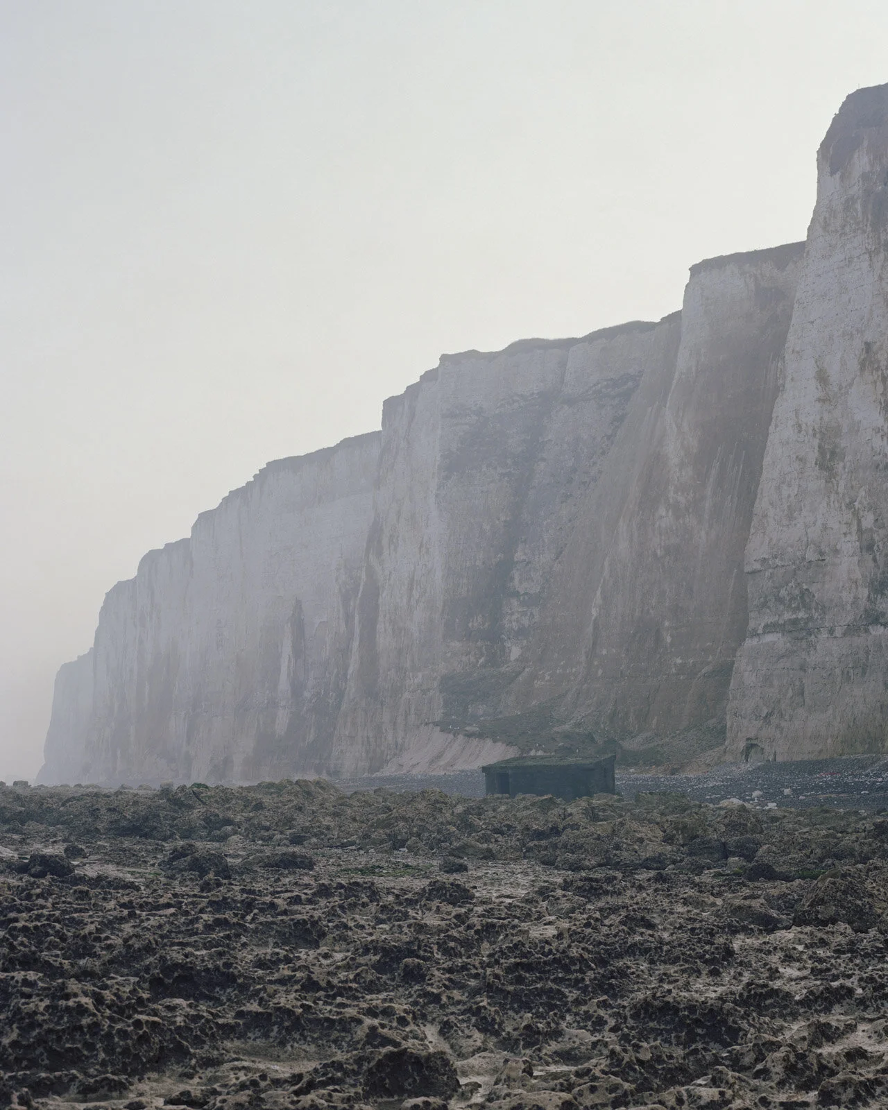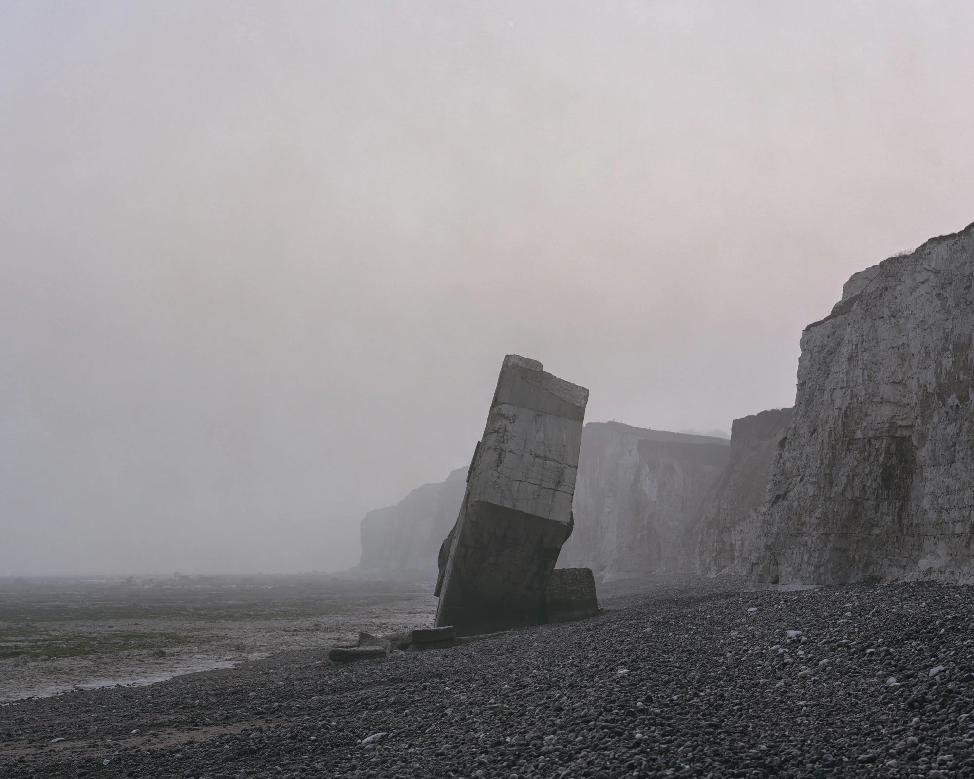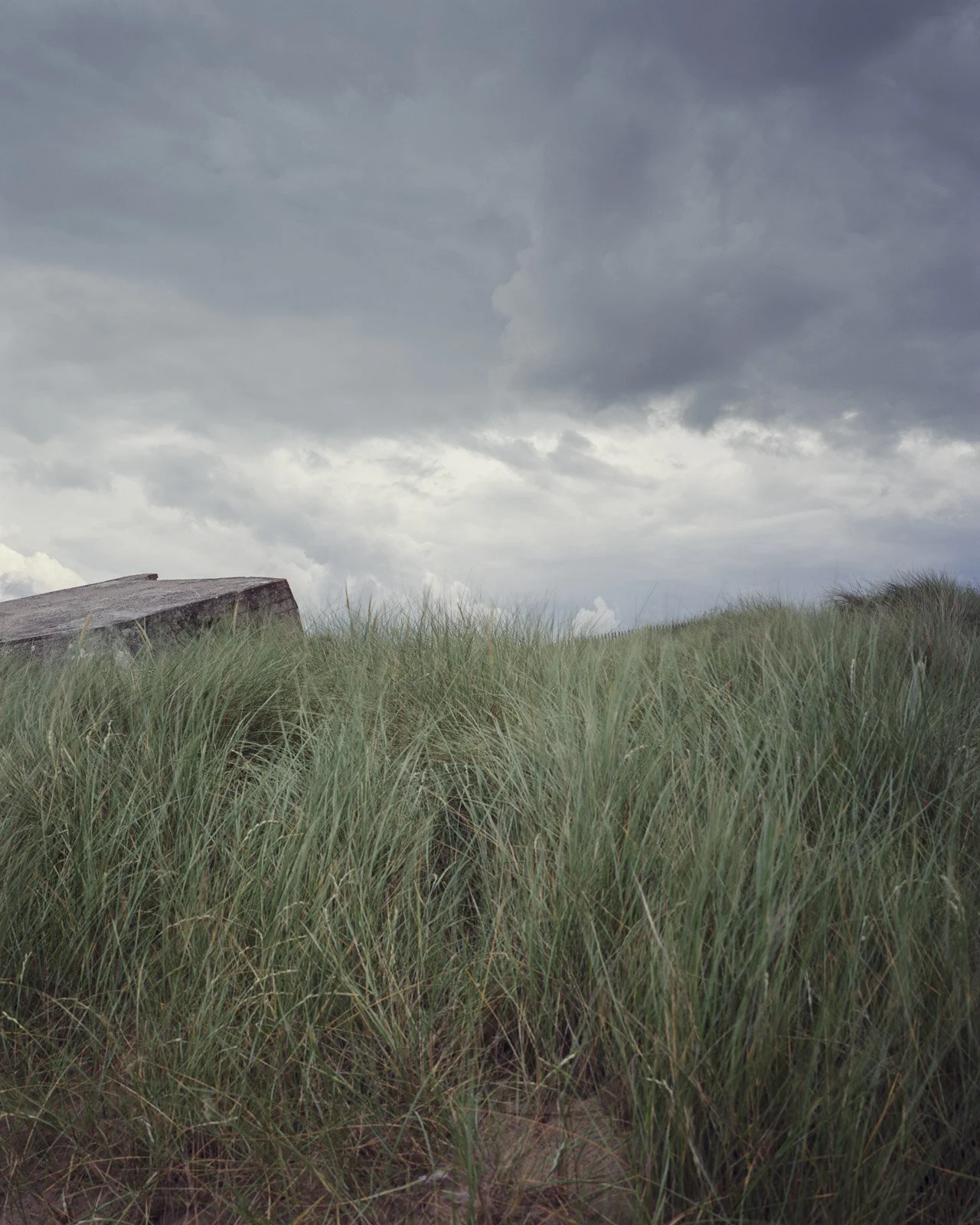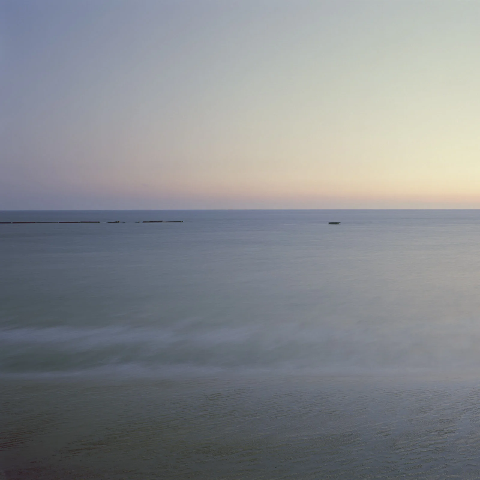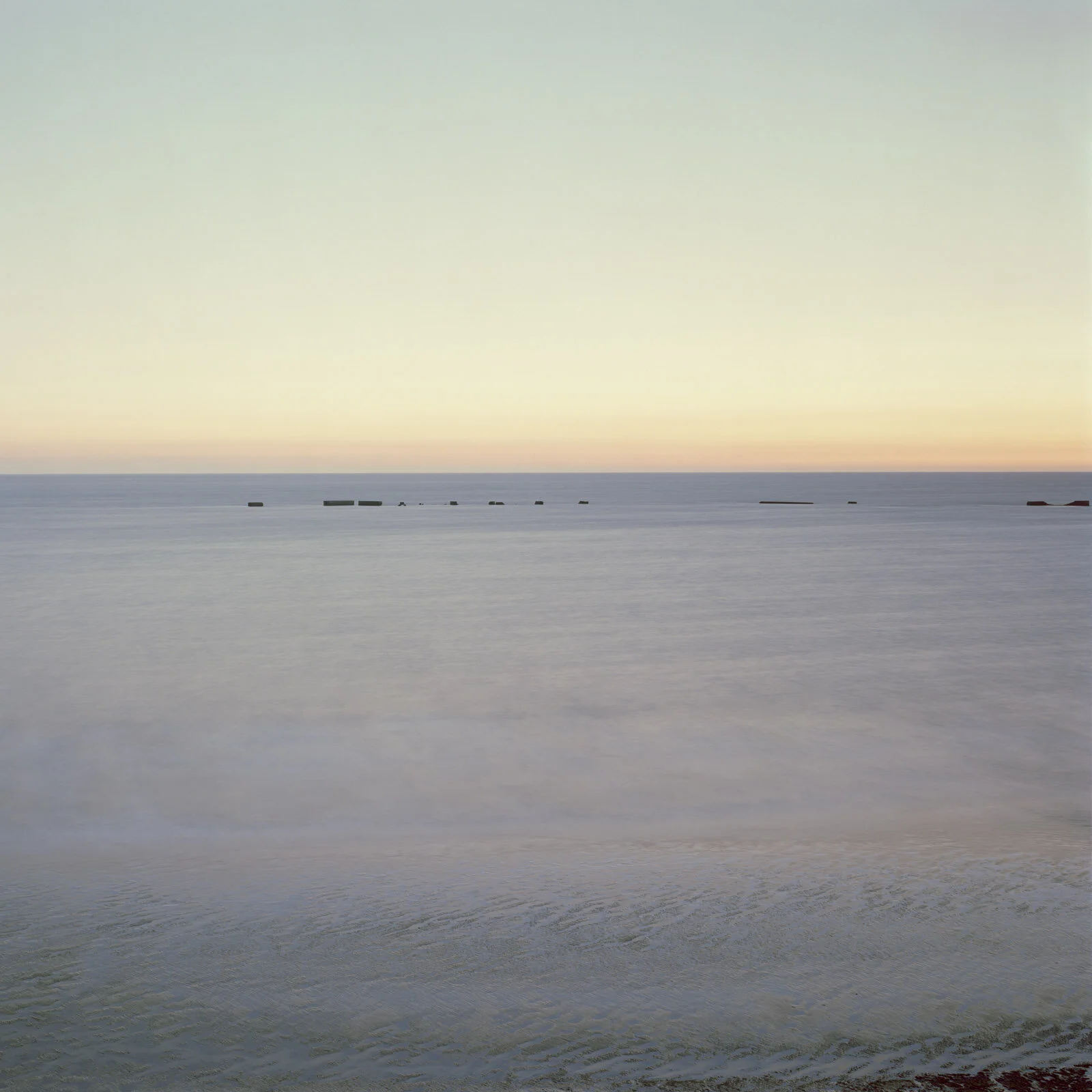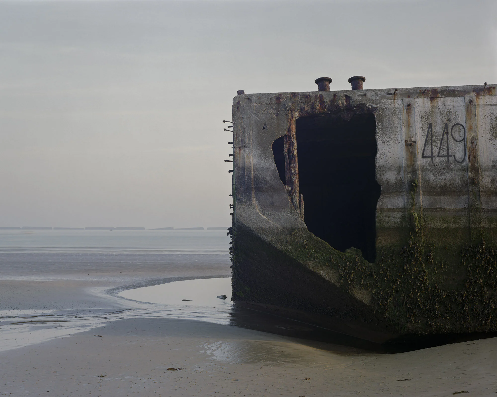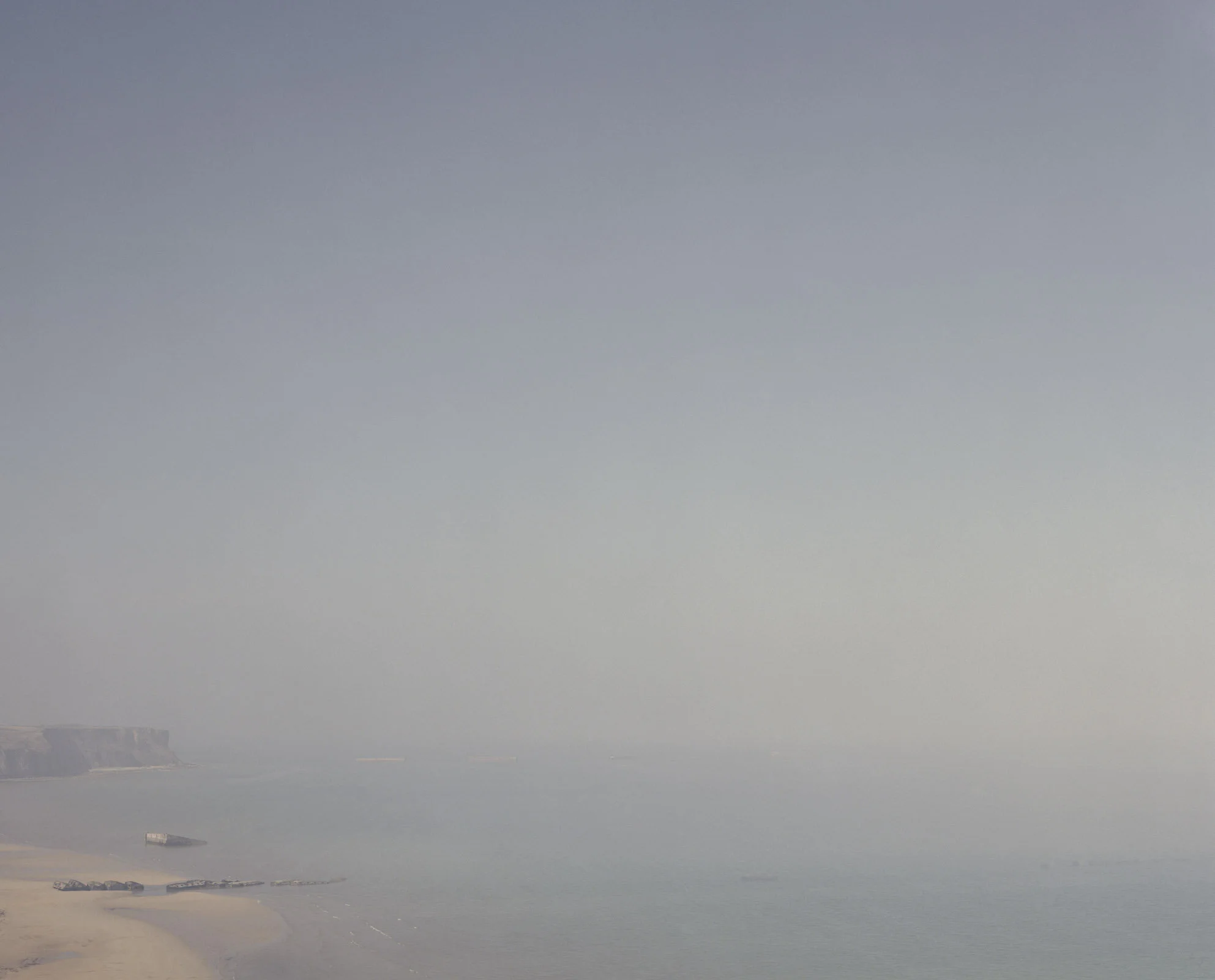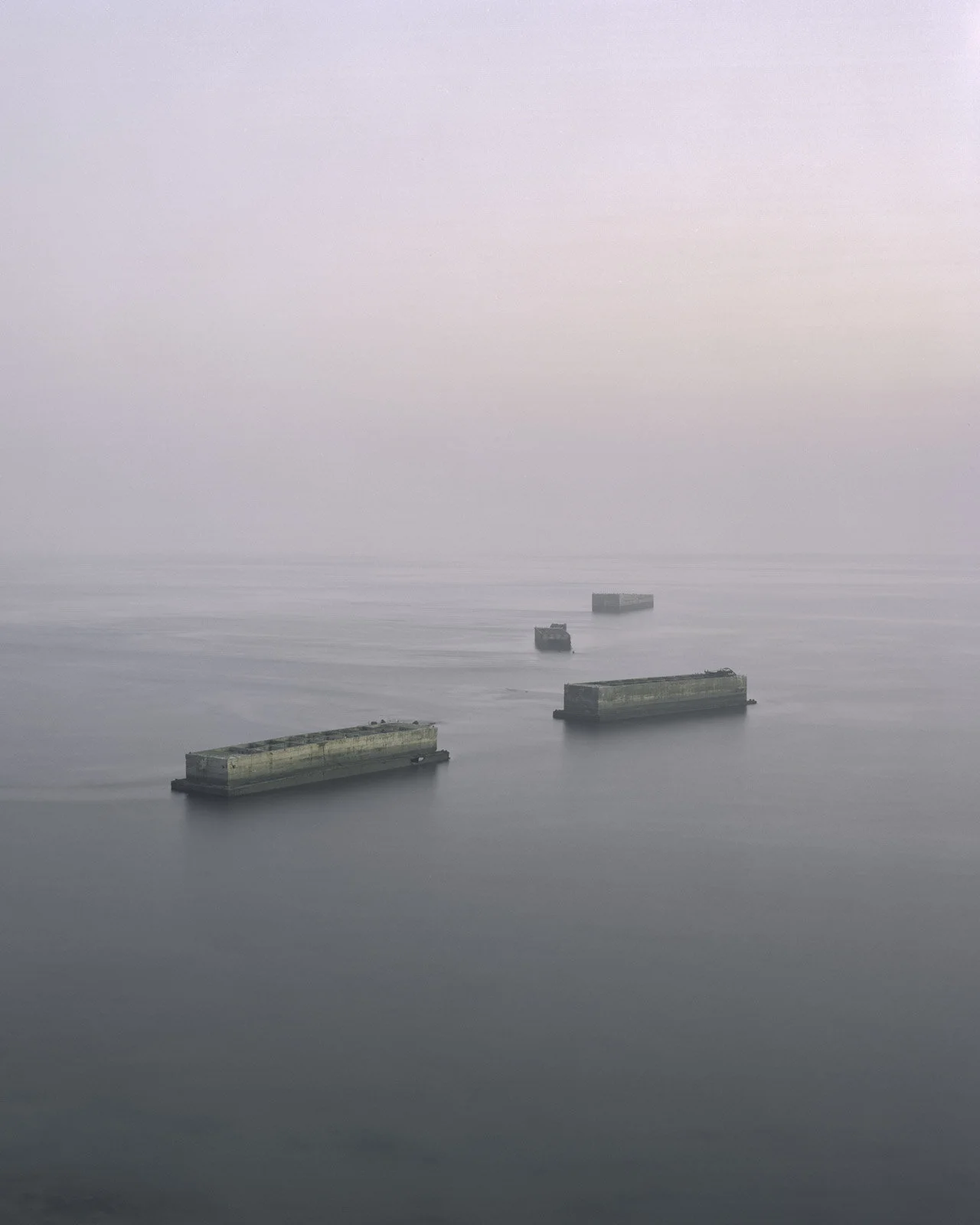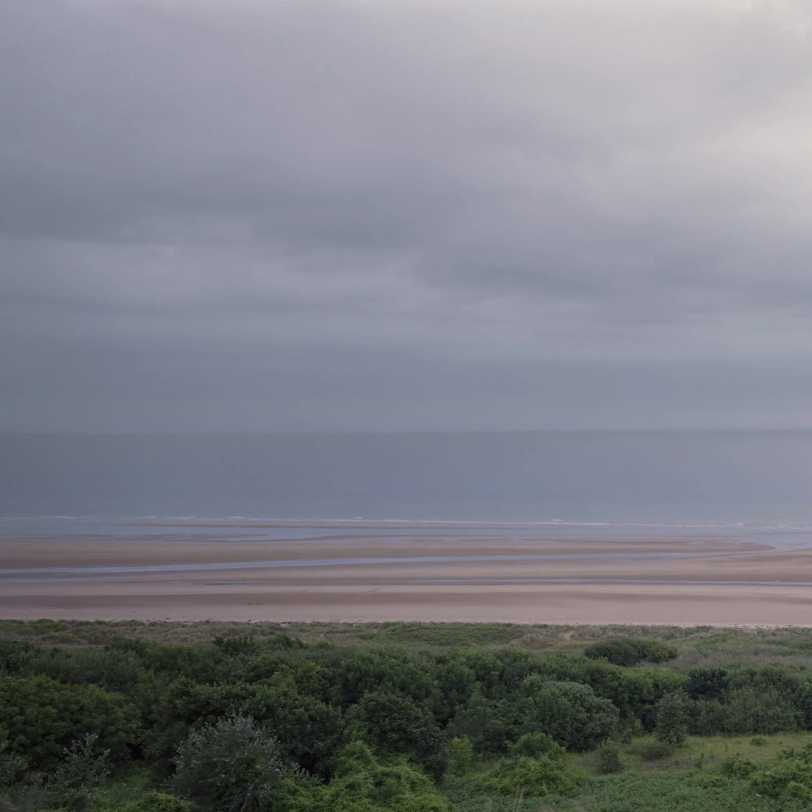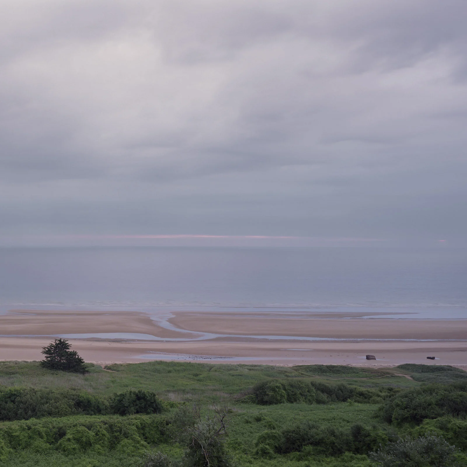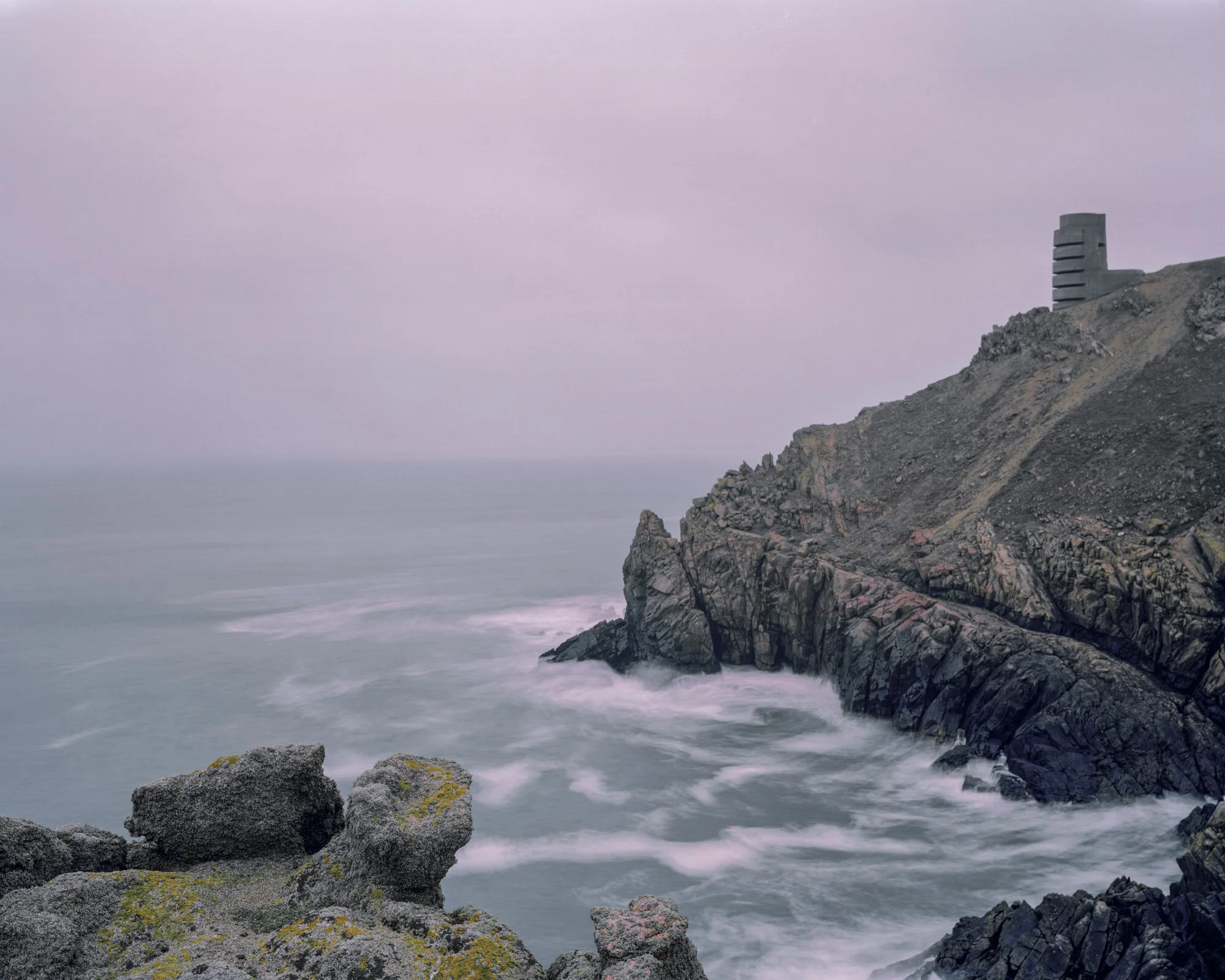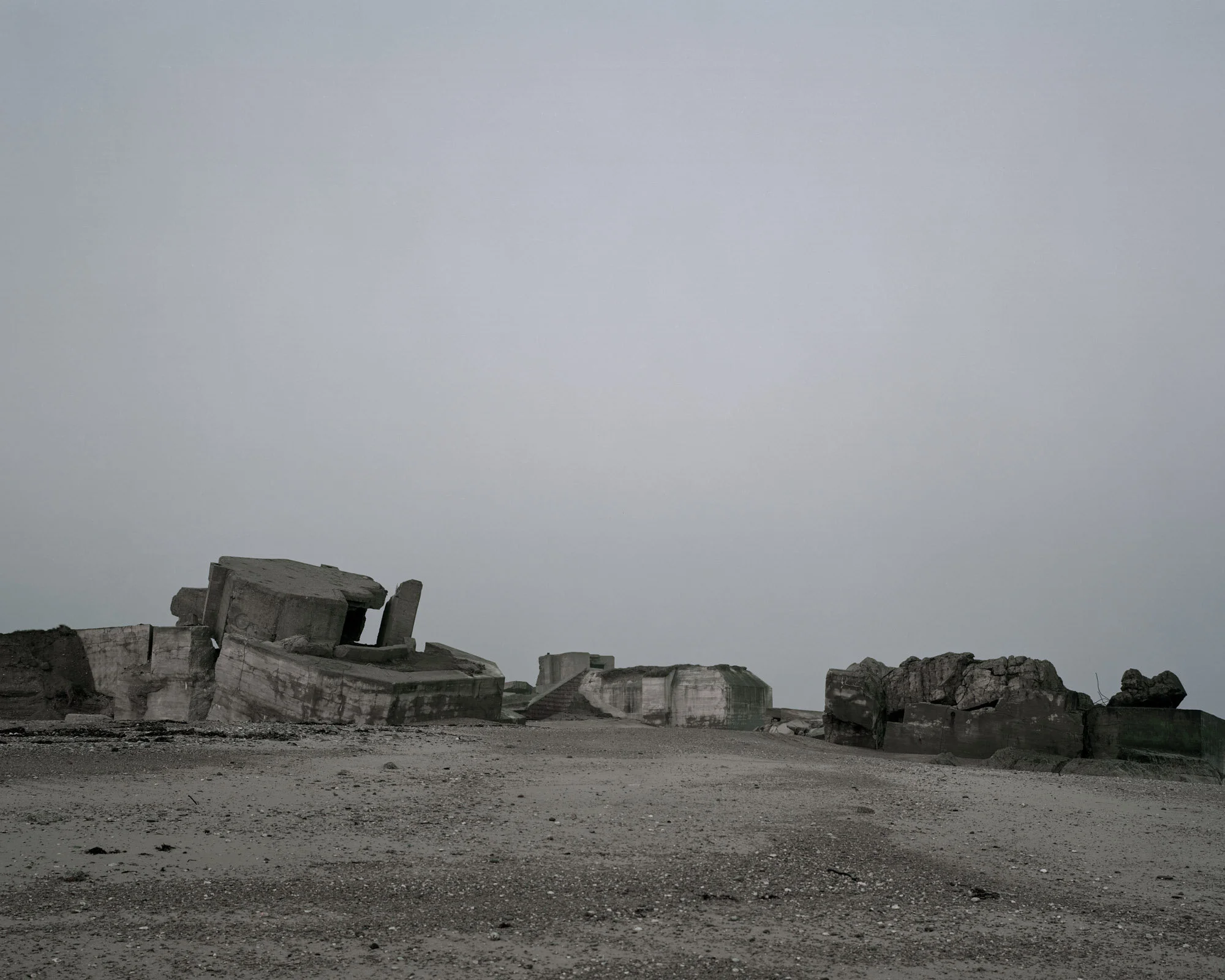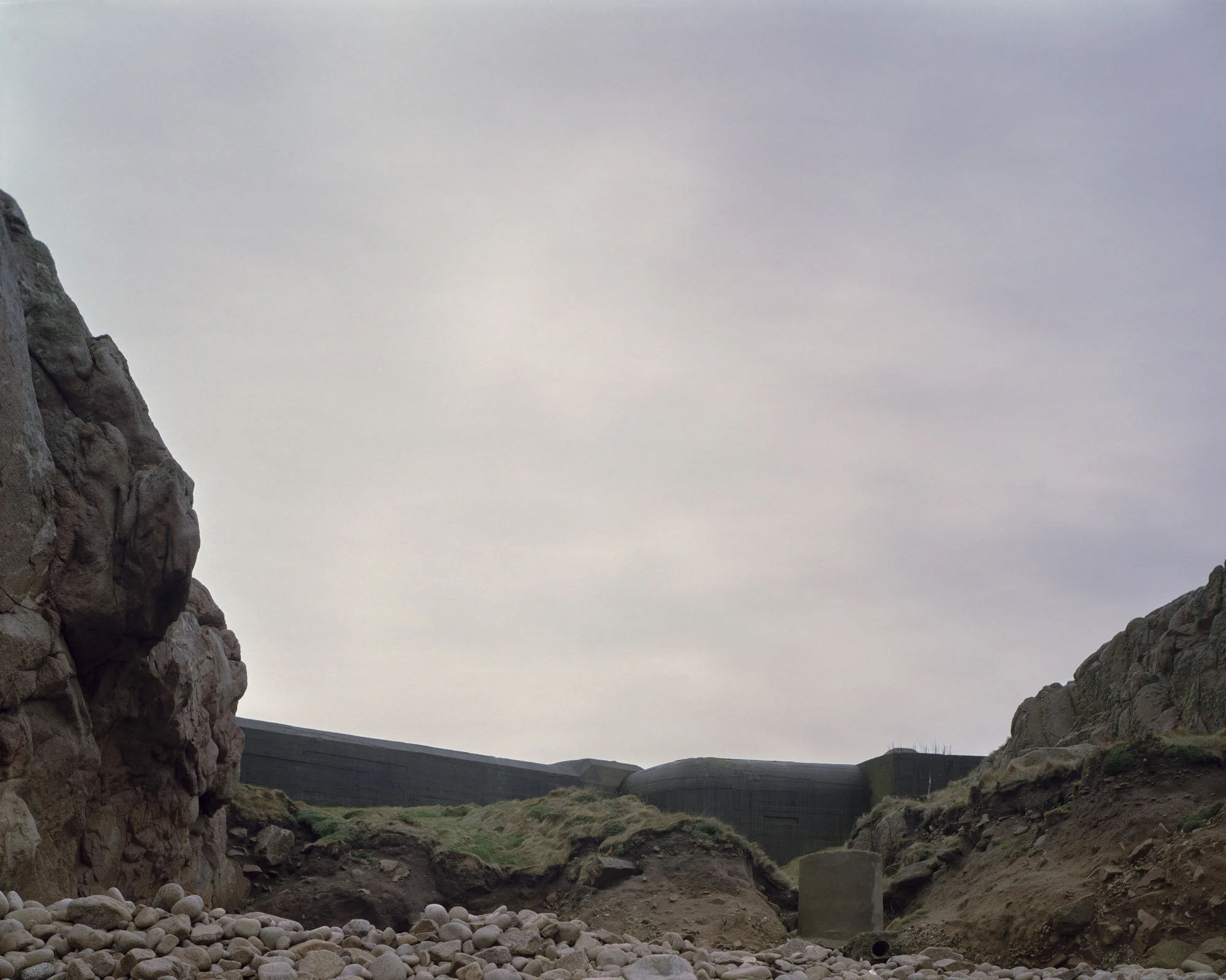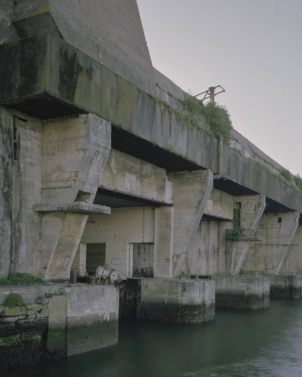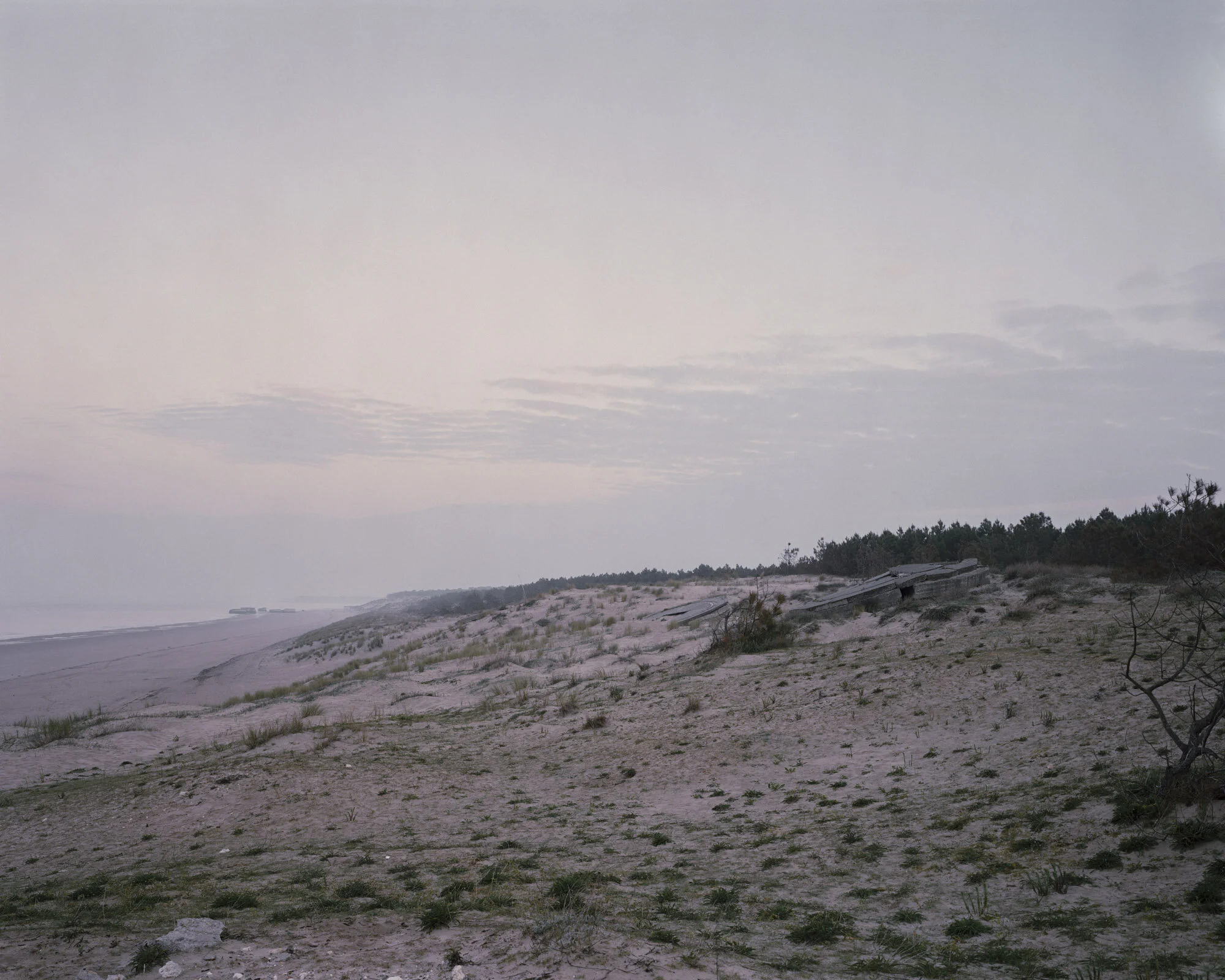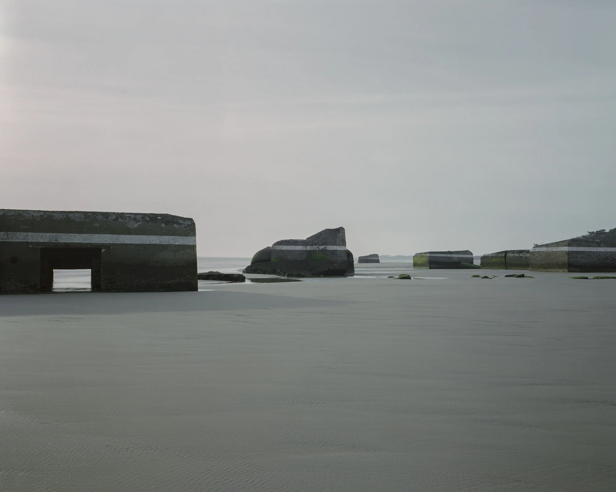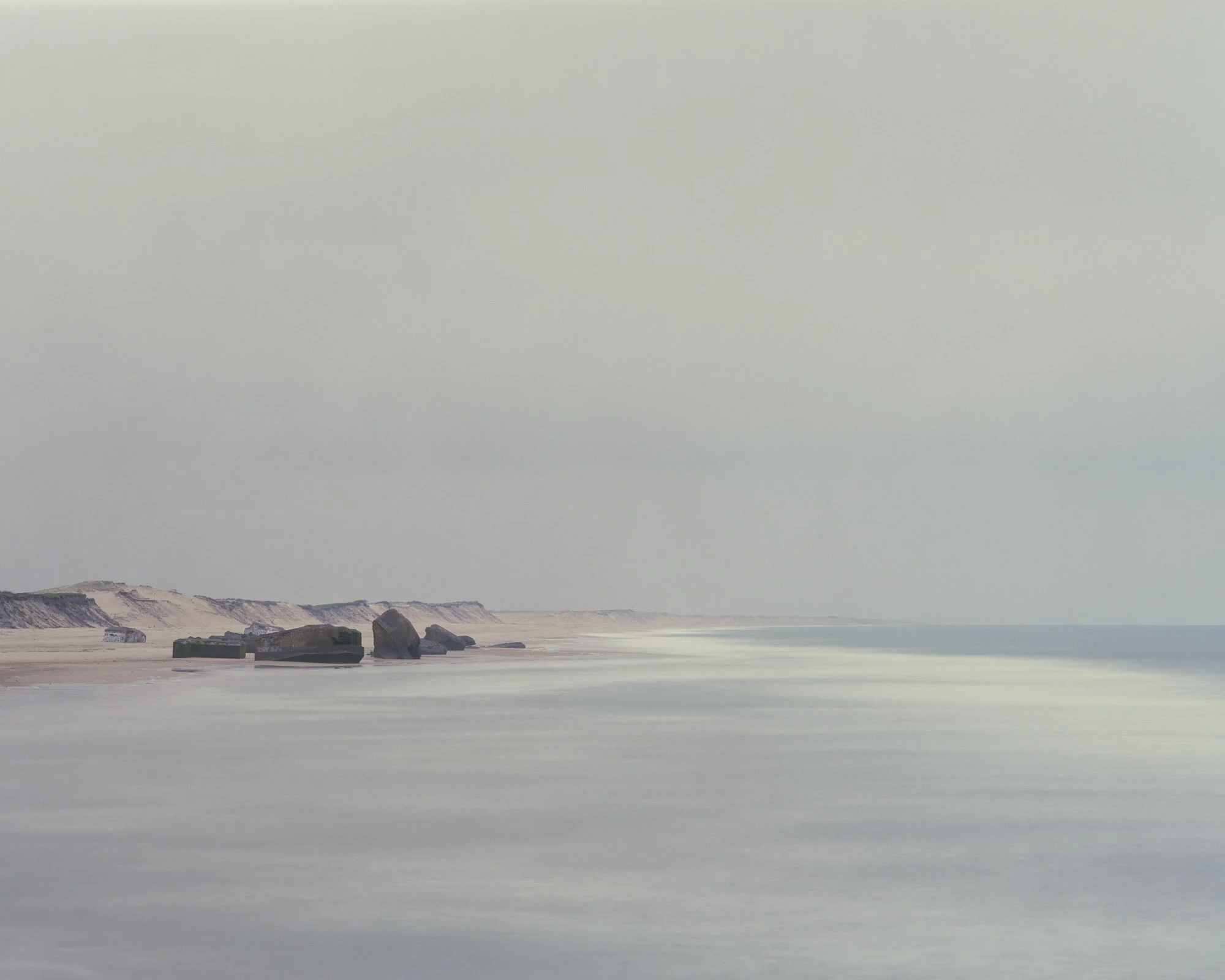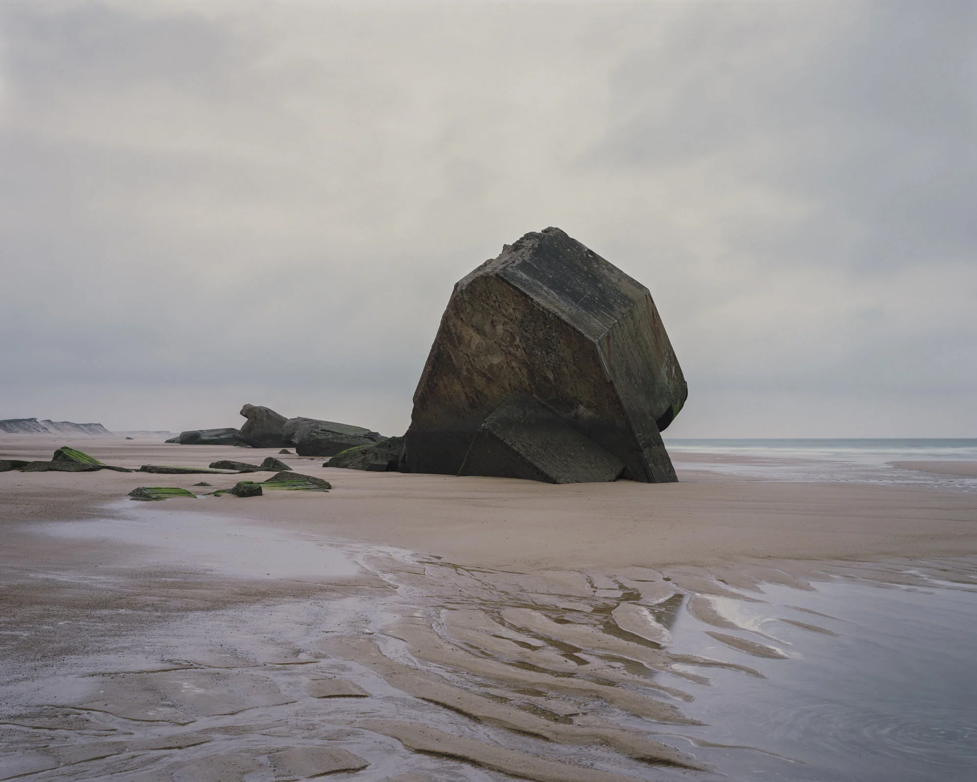
Photographed between 2010 and 2014, The Last Stand aims to reflect the histories and stories military conflict and the memories held in the landscape itself. The series is made up of 86 images and is documents some of the physical remnants of the Second World War on the coastlines of the British Isles and Northern Europe, focusing on military defence structures that remain and their place in the shifting landscape that surrounds them. Many of these locations are no longer in sight, either subsumed or submerged by the changing sands and waters or by more human intervention. At the same time others have re-emerged from their shrouds. Over the four years 23,000 miles were travelled to 143 locations to capture these images along the coastlines of the UK, The Channel Islands, Northern & Western France, Denmark, Belgium and Norway.

The book
128pages
Photographs
Research text
Map
4th edition published 2024